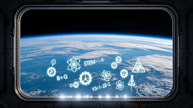

What's Happening?
NASA has successfully deployed its Prithvi AI model in orbit, marking a significant milestone as the first geospatial foundation model to operate on in-orbit platforms. Trained on 13 years of data from
NASA's Landsat and ESA's Sentinel-2 satellites, Prithvi is designed to perform advanced environmental analyses. The model demonstrated its capabilities by predicting burn scars from the Gifford Fire near Los Angeles while aboard the South Australian government's Kanyini satellite and the International Space Station's IMAGIN-e payload. The open-source nature of Prithvi allows for widespread use and adaptation, facilitating scientific and technological advancements. This deployment represents a leap forward in real-time environmental analysis, enabling data processing before it is downloaded to Earth.
Why It's Important?
The deployment of the Prithvi AI model in orbit is a pivotal development for real-time environmental monitoring and disaster assessment. By processing data in orbit, the model enhances responsiveness to critical environmental events, such as wildfires and floods, which can have significant societal and economic impacts. The open-source availability of Prithvi encourages collaboration and innovation, potentially accelerating advancements in Earth observation technologies. This initiative aligns with NASA's strategy to leverage AI for scientific progress, offering a model for future AI deployments in space. The ability to perform complex analyses in orbit could transform how environmental data is utilized, providing timely insights that can inform policy and emergency response efforts.
What's Next?
Following the successful deployment of Prithvi, NASA and its partners may explore further applications of AI in space, potentially expanding the model's capabilities to other environmental phenomena. The success of Prithvi could lead to increased investment in AI-driven space technologies, encouraging other organizations to adopt similar open-source models. Future developments might focus on enhancing the model's adaptability to various tasks and improving its integration with other satellite systems. As the model continues to operate, ongoing validation and refinement will be crucial to ensure its accuracy and reliability in diverse conditions.