
What's Happening?
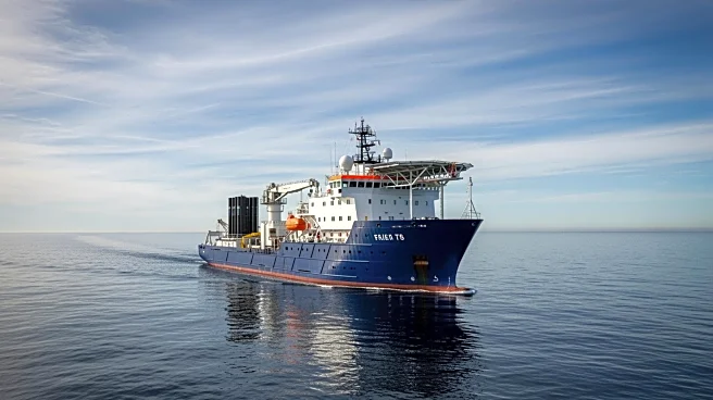
TGS and Viridien have announced the early results from their Laconia Phase III Ultra-Long Offset Ocean Bottom Node (OBN) survey. This project is set to deliver fast-track 5Hz Elastic Full Waveform Inversion
(EFWI) products in the first quarter of 2026, with final 12Hz EFWI volumes expected by January 2027. The survey aims to enhance subsurface imaging capabilities, which are crucial for energy exploration and development. The announcement marks a significant milestone in the project, which is designed to provide high-resolution data to support the energy sector's exploration efforts.
Why It's Important?
The results from the Laconia Phase III survey are significant for the energy industry, particularly in the realm of exploration and development. Enhanced imaging capabilities can lead to more efficient resource identification and extraction, potentially reducing costs and increasing the success rate of drilling operations. This development could benefit energy companies by providing them with more accurate data, thereby improving decision-making processes related to resource management. Additionally, the advancements in imaging technology may contribute to more sustainable practices by minimizing environmental impact during exploration.
What's Next?
Following the early results, TGS and Viridien plan to deliver the fast-track 5Hz EFWI products in early 2026, with the final 12Hz EFWI volumes scheduled for January 2027. These deliverables will likely be closely monitored by stakeholders in the energy sector, as they could influence future exploration strategies and investments. Companies involved in energy exploration may adjust their plans based on the new data, potentially leading to shifts in market dynamics and exploration priorities.
Beyond the Headlines
The technological advancements demonstrated in the Laconia Phase III survey could have broader implications beyond immediate energy exploration. Improved subsurface imaging may lead to innovations in other fields such as environmental monitoring and geological research. The ability to obtain high-resolution data could enhance understanding of subsurface conditions, contributing to scientific knowledge and potentially informing public policy related to land use and environmental conservation.