






What's Happening?
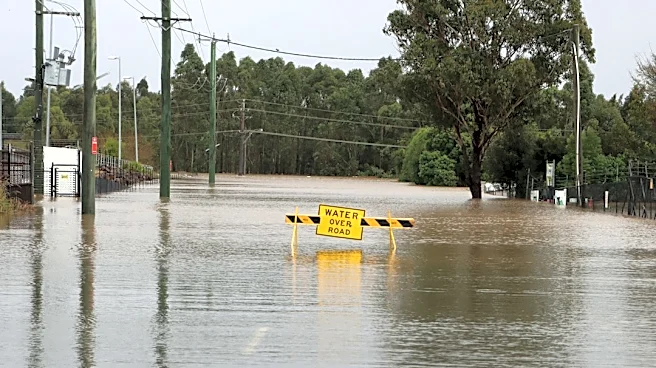
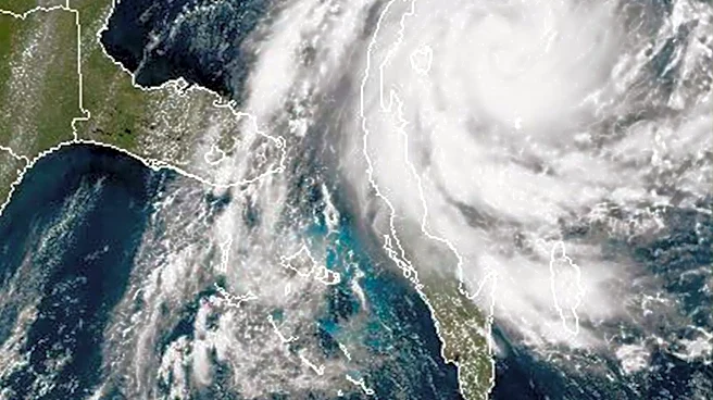
Central Florida is transitioning to drier and warmer weather conditions after experiencing historic flooding in parts of Brevard County and the Treasure Coast. High pressure building north of Florida is gradually bringing more stable weather, reducing
rain chances to 20-30% for most areas. Temperatures are expected to reach the mid-80s, which is several degrees above normal for early November, with humidity remaining elevated. A weak cold front is anticipated to move through the region on Saturday, bringing slightly cooler and drier air by Sunday and early next week, with highs settling into the mid-70s to around 80 degrees. Despite the improving weather, coastal hazards persist, with a high risk of life-threatening rip currents at all Central Florida Atlantic beaches, and offshore seas remaining dangerous.
Why It's Important?
The shift to drier weather is crucial for recovery efforts in areas devastated by recent flooding, allowing for cleanup and assessment of damages. However, the continued high temperatures and humidity, followed by a weak cold front, highlight the dynamic and sometimes unpredictable weather patterns in Florida. The persistent high rip current risk underscores ongoing dangers along the coast, posing a threat to beachgoers and boaters even as inland conditions improve. This situation impacts local tourism, recreational activities, and the safety of residents. The varying forecasts for a developing storm system in the Deep South and potential tropical development in the western Atlantic also emphasize the need for continuous monitoring, as these systems could bring renewed hazards or influence local weather patterns, affecting infrastructure and daily life.
What's Next?
Residents in Central Florida can expect several days of drier weather, which will aid in flood recovery and cleanup efforts, particularly in southern Brevard County and the Treasure Coast. However, the high rip current risk will continue to be a concern along Atlantic beaches, requiring caution from the public. The weak cold front expected over the weekend will bring a temporary reprieve from the warmer temperatures, offering a taste of fall weather. Weather forecasters will continue to monitor developing low-pressure systems in the Atlantic and the Deep South, as their evolution could impact Central Florida's weather in the coming week, potentially bringing renewed rain chances or coastal hazards. Local authorities will likely continue to issue advisories regarding beach conditions and any potential weather developments.
Beyond the Headlines
The recent weather events in Central Florida underscore the increasing vulnerability of coastal and low-lying regions to extreme weather, a trend often linked to broader climate patterns. The historic flooding highlights the strain on existing infrastructure and drainage systems, prompting discussions about urban planning, resilience, and adaptation strategies for future weather events. The persistent rip current risk, even after the main storm system has passed, points to the complex interplay of oceanographic conditions and atmospheric pressure systems, emphasizing the need for public awareness and education on beach safety. Furthermore, the differing model forecasts for future weather systems illustrate the challenges in accurate long-range weather prediction, which has significant implications for disaster preparedness and resource allocation in a region highly susceptible to tropical weather. This ongoing cycle of extreme weather and recovery could influence long-term migration patterns and insurance markets in the state.