



What's Happening?
San Diego County is anticipating the expiration of its week-long heat warning as a gradual cooling trend is expected to begin through the middle of next week, according to the National Weather Service (NWS). Increased high cloud cover is forecast for Tuesday
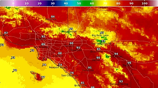
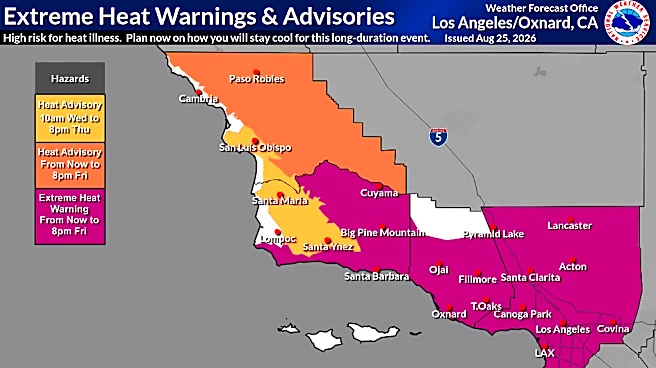
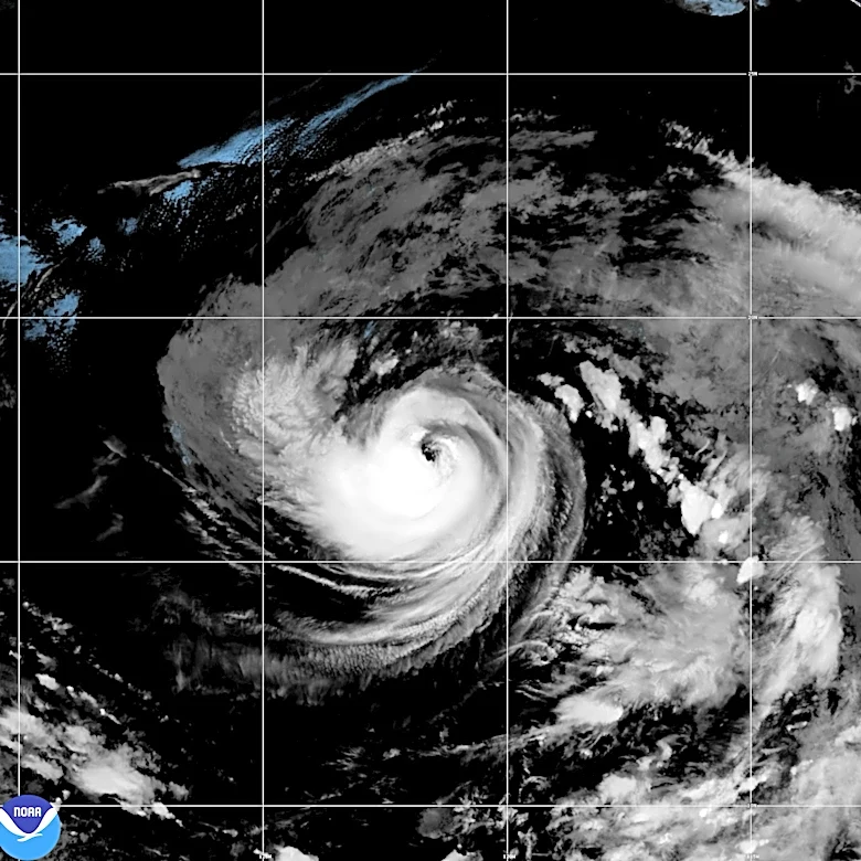
and Wednesday, with a 15% to 25% chance of light rain attributed to Tropical Cyclone Karina, which is expected to remain well to the south. Temperatures are projected to return to near-average levels by Friday. Coastal areas will see highs in the mid-70s to low 80s. Inland valleys, which started the week in the upper 80s, are expected to cool to around 80 degrees by next Friday. Mountain highs will range from the mid-70s to low 80s, while desert highs, which were in the low 100s, are predicted to drop to the mid-to-upper 90s by next weekend. The extreme heat warning for San Diego County deserts, mountains, and inland valleys was set to expire at 8 p.m. Saturday.
Why It's Important?
The shift in weather patterns is significant for public health and local infrastructure in San Diego County. Prolonged heat waves can lead to increased instances of heat-related illnesses, strain on the power grid due to higher air conditioning usage, and elevated fire risks, particularly in the region's dry inland and mountain areas. The cooling trend will alleviate these pressures, reducing the immediate health risks for residents and visitors, and potentially lowering energy consumption. The chance of light rain, even if minimal, could offer some relief to parched landscapes, though it's unlikely to significantly impact long-term drought conditions. The return to near-average temperatures will also positively affect outdoor activities and tourism, which are vital components of the local economy, by making conditions more comfortable for residents and visitors alike.
What's Next?
Residents can expect a continued decrease in temperatures throughout the week, with the NWS forecasting a return to near-average conditions by Friday. The increased cloud cover and potential for light rain from Tropical Cyclone Karina will contribute to the cooling. Night and morning low clouds are also expected to become more widespread, extending into the western valleys at times. While the immediate heat warning is expiring, authorities will likely continue to monitor weather patterns, especially given the influence of tropical systems. Local emergency services will remain vigilant for any unexpected shifts in weather that could impact public safety, such as sudden changes in humidity or wind conditions that might affect fire danger. The public is advised to stay updated on local weather forecasts and any new advisories issued by the National Weather Service.
Beyond the Headlines
The influence of Tropical Cyclone Karina, even from a distance, highlights the broader impact of Pacific weather systems on Southern California's climate. While this particular system is bringing a cooling trend, the region is also preparing for potential extreme weather events, including El Niño conditions, which can bring increased rainfall and flood risks. This underscores the ongoing need for robust emergency preparedness and climate resilience strategies in San Diego County. The interplay between distant tropical activity and local weather patterns is a complex aspect of regional climatology, with implications for water management, agriculture, and urban planning. Understanding and adapting to these large-scale atmospheric and oceanic phenomena are crucial for the long-term sustainability and safety of the community.