








What's Happening?
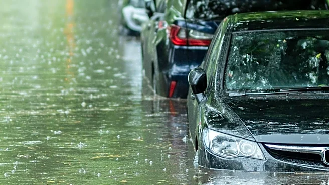
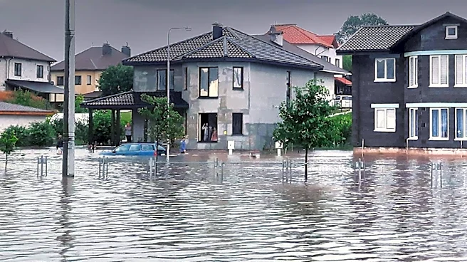
The New York City and New Jersey area is bracing for the return of stormy weather and flash flooding. A First Alert Weather Day has been declared due to the potential for isolated downpours, scattered flash flooding, and severe thunderstorms. The day
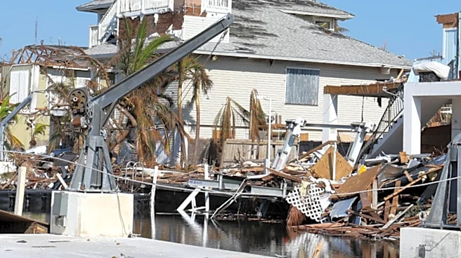
is expected to start partly cloudy and muggy, with showers and storms developing in the afternoon and evening. This weather event follows recent storms that caused significant damage, including the collapse of a roof at a BJ's Wholesale Club in Ocean Township, New Jersey.
Why It's Important?
The return of severe weather to the NYC and New Jersey area highlights the ongoing challenges posed by extreme weather events. These conditions can lead to significant disruptions, including property damage, transportation delays, and potential safety hazards for residents. The frequency of such events raises concerns about infrastructure resilience and the need for effective emergency response strategies. Communities in the region remain on edge, emphasizing the importance of timely weather alerts and preparedness measures.
What's Next?
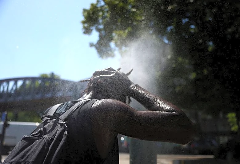
As the stormy weather approaches, residents are advised to stay informed about the latest weather warnings and alerts. Authorities may implement measures to mitigate the impact of the storms, such as road closures and emergency services deployment. The weekend weather is expected to improve, with mostly sunny skies and temperatures in the low 80s. However, the region may face another heat wave in the coming week, with temperatures potentially exceeding 90 degrees.