







What's Happening?
An interdisciplinary team of scientists, including hydrologists, social scientists, ecologists, and extension specialists, has developed a data dashboard to visualize coastal compound flooding and assess the effectiveness of natural infrastructure for
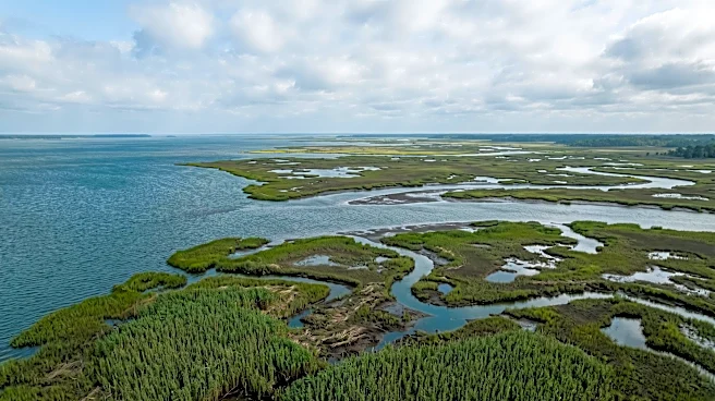
flood mitigation in Mobile Bay, Alabama. Compound flooding, which is driven by multiple factors such as precipitation, river discharge, storm surges, waves, and tides, can significantly amplify flood impacts on coastal communities. The team addressed the challenges of modeling these complex interactions by integrating hydrologic, hydrodynamic, and ecosystem models. They collaborated with approximately 40 local stakeholders from federal, state, municipal, and non-profit organizations through workshops to identify local flooding hotspots and evaluate mitigation projects. The model predictions cover historic flood events (Hurricanes Katrina and Sally) and synthetic scenarios for 2020 and 2050 across 10 project designs. The University of Alabama hosts the dashboard, which will be continuously updated.
Why It's Important?
This initiative is crucial for enhancing coastal resilience and informing decision-making in the Mobile Bay area. By providing a multi-faceted, science-based assessment of coastal flooding and sea level rise, the dashboard equips local decision-makers with critical information to identify vulnerable locations, prioritize investments in flood mitigation, and strengthen public safety measures. The evaluation of nature-based solutions, such as salt marshes, offers insights into sustainable and ecologically beneficial approaches to flood defense. This project also highlights the importance of interdisciplinary collaboration and stakeholder engagement in addressing complex environmental challenges. The findings can help protect vital infrastructure, reduce economic losses from flooding, and safeguard the well-being of coastal communities, particularly as climate change continues to exacerbate flood risks.
What's Next?
The data dashboard, hosted by the University of Alabama, will undergo continuous updates as the scientific team publishes additional findings and incorporates feedback from end-users. This iterative process ensures the tool remains relevant and responsive to the evolving needs of Mobile Bay communities. The team has already published a peer-reviewed article in Frontiers in Marine Science detailing their modeling approaches, which will likely be followed by more publications. Future work may involve expanding the scope of the models to include other coastal areas or integrating additional environmental factors. The success of this project could serve as a model for other coastal regions facing similar compound flooding challenges, potentially leading to wider adoption of such data-driven approaches to flood risk management.
Beyond the Headlines
The development of this data dashboard represents a significant step towards proactive climate adaptation and resilience planning. Beyond its immediate practical applications, it underscores a broader shift towards integrating scientific research with community needs and policy development. The project's emphasis on natural infrastructure for flood mitigation highlights a growing recognition of ecological solutions as viable and often superior alternatives to traditional engineering approaches. This also touches upon environmental justice, as vulnerable communities are often disproportionately affected by flooding. By making complex scientific data accessible and actionable, the dashboard fosters greater public understanding and engagement in environmental issues, promoting a culture of preparedness and informed decision-making in the face of climate change.