






What's Happening?
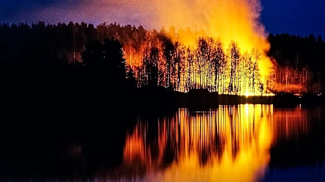
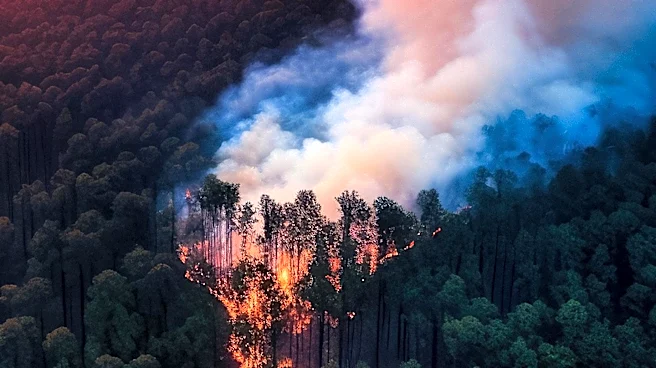
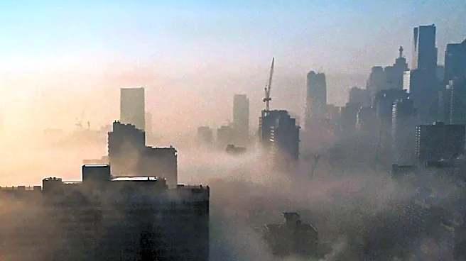
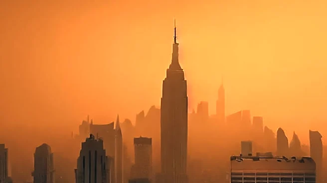
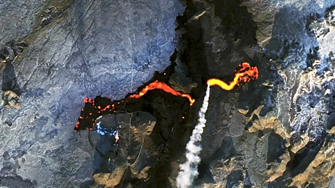
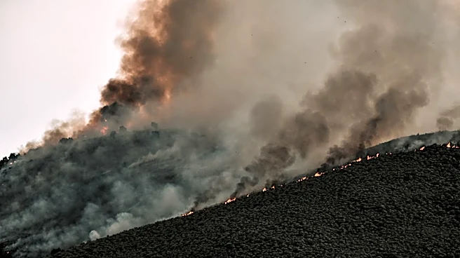
Satellite images have captured extensive smoke from over 850 wildfires currently burning across Canada, affecting air quality in both Canada and the northeastern United States. The fires, primarily in Manitoba, Saskatchewan, and Ontario, remain largely
uncontrolled. The smoke has led to 'very unhealthy' air quality levels as far south as New York, prompting emergency protocols. The NOAA-21 satellite, equipped with the VIIRS instrument, provided images showing massive smoke plumes extending from southeastern Canada into the U.S., highlighting the widespread impact of these fires.
Why It's Important?
The visibility of wildfire smoke from space underscores the severity of the current fire season in Canada, exacerbated by climate change. The data collected from satellites is crucial for both immediate disaster response and long-term climate studies. As climate change progresses, such natural disasters are expected to become more frequent and intense, posing significant challenges for public health and safety. The situation highlights the need for robust climate policies and disaster preparedness strategies to mitigate the impact of future events.
What's Next?
As the wildfires continue, monitoring efforts will persist, with satellites like NOAA-21 playing a key role in tracking smoke dispersion and assessing air quality impacts. Authorities in affected regions will likely continue to implement and adjust emergency protocols to protect public health. In the long term, this event may prompt further discussions on climate change mitigation and adaptation strategies, emphasizing the importance of reducing greenhouse gas emissions and enhancing resilience to natural disasters.