





What's Happening?
Dr. Hossein Hashemi, an associate professor in the Division of Water Resources Engineering at Lund University, is focusing his research on groundwater monitoring, evaluation, and management in arid and water-scarce regions. His work primarily utilizes
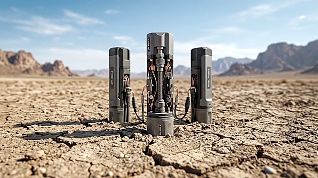
satellite remote sensing and artificial intelligence (AI) to address the challenges of invisible groundwater resources. Satellites indirectly monitor groundwater by measuring ground movements, such as uplift from recharge and subsidence from pumping, down to the millimeter. This satellite data complements ground measurements, which are accurate at specific points, by filling in the gaps and providing a broader spatial understanding. AI plays a crucial role in processing and interpreting these vast datasets, though Dr. Hashemi emphasizes the need for explainable AI to ensure transparency. Climate models predict that regions like the Middle East and North Africa will become warmer and drier, with rainfall potentially decreasing by 10 to 15%, exacerbating water scarcity and leading to increased inequality in water access.
Why It's Important?
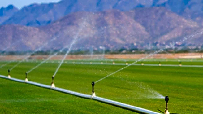
Groundwater is a critical resource, especially in arid regions, underpinning global food security through agricultural irrigation. The invisibility of groundwater makes its proper management challenging, leading to over-extraction and depletion. Dr. Hashemi's research is vital because it provides innovative tools for monitoring this hidden resource, enabling more informed water management decisions. The projected climate change impacts, including reduced rainfall and increased evapotranspiration, will intensify physical water scarcity, making advanced monitoring and management techniques indispensable. Without effective strategies, the unequal distribution of scarce water resources could lead to significant social impacts and exacerbate existing inequalities. The integration of remote sensing and AI offers a powerful approach to build groundwater resilience, ensuring sustainable access for communities and agriculture in vulnerable regions.
What's Next?
The future of water management in arid regions will likely see continued advancements in the integration of satellite remote sensing and AI. A key trend is the development of 'physically explainable AI,' which combines physical meaning and constraints with AI algorithms to enhance transparency and reliability. Policymakers will need to work closely with researchers to translate scientific findings into implementable solutions, such as managed aquifer recharge, which diverts floodwaters to replenish aquifers. Overcoming obstacles like demonstrating the efficiency of recharged groundwater to policymakers will be crucial for widespread adoption. Furthermore, there will be an ongoing need to address the social implications of water scarcity, particularly the potential for increased inequality, through equitable water allocation policies and community engagement.
Beyond the Headlines
The scientific advancements in groundwater monitoring and management, particularly the use of satellite remote sensing and AI, represent a significant shift in how humanity can address environmental challenges. This technological leap allows for a more comprehensive understanding of complex hydrological systems, moving beyond traditional, localized measurements. However, the 'black box' nature of some AI models raises ethical considerations regarding transparency and accountability in decision-making processes that affect vital resources. The broader implication is the potential for technology to empower regions facing severe climate impacts, but it also underscores the importance of interdisciplinary collaboration between scientists, engineers, and policymakers. Ultimately, the success of these innovations hinges on their ability to be translated into practical, equitable, and sustainable water management practices that benefit all segments of society.