


What is the story about?
What's Happening?
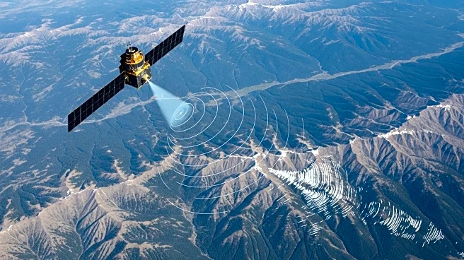
NASA has utilized interferometric synthetic aperture radar (InSAR) technology to map ground displacement following a major earthquake on the Kamchatka Peninsula in Russia. The earthquake, which occurred on July 29, 2025, was a magnitude 8.8 event, causing significant eastward displacement. InSAR provides detailed measurements of ground movement, offering insights into fault behavior and aiding in tsunami forecasting models. The technology also detected volcanic activity at Krasheninnikova volcano, which erupted shortly after the earthquake.
Why It's Important?
The use of InSAR technology in mapping earthquake displacement is crucial for understanding fault dynamics and improving hazard assessments. By providing precise measurements of ground movement, InSAR aids in the development of models that predict tsunami risks and inform emergency response efforts. The technology's ability to detect volcanic activity also enhances the monitoring of potential eruptions, contributing to public safety. NASA's application of InSAR demonstrates the importance of advanced remote sensing techniques in studying natural disasters and mitigating their impacts.
Beyond the Headlines
InSAR technology offers a deeper understanding of earthquake and volcanic activity, providing valuable data for scientists and emergency responders. The technique's ability to measure both horizontal and vertical displacement enhances the accuracy of hazard assessments, informing future preparedness strategies. The integration of InSAR data with other observational methods, such as seismic and satellite data, creates a comprehensive approach to studying Earth's dynamic processes. As NASA continues to develop and utilize InSAR technology, its applications in disaster response and environmental monitoring are expected to expand, offering new opportunities for scientific research and public safety.