






What's Happening?
Central Florida is under a FOX 35 Storm Team Alert from Tuesday through Friday due to an El Niño-influenced weather pattern expected to bring multiple days of heavy rainfall, particularly to the Atlantic coastline. This area has already experienced significant
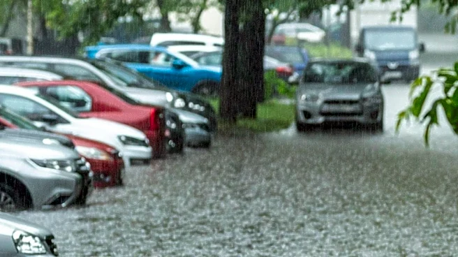
rainfall and flooding in recent weeks. The forecast indicates that strong high pressure to the north and developing low pressure near the Bahamas will create persistent easterly winds, drawing deep Atlantic moisture into Florida. This atmospheric setup is likely to generate showers and storms, with heavy rain bands repeatedly developing and moving onshore. Weather models predict rainfall totals of 2-4 inches, with some localized areas potentially receiving 5-7 inches, and some models even suggesting up to 12 inches. The National Weather Service has issued a Marginal to Slight Risk (Level 1-2 of 4) for excessive rainfall each day from Tuesday to Friday, with the highest flooding potential along the coast south of Cape Canaveral, especially on Wednesday and Thursday. Additionally, offshore seas are expected to build to 9-14 feet from Wednesday through Friday, creating hazardous conditions for boaters, and rip currents are anticipated along Florida's Atlantic coast.
Why It's Important?
The impending heavy rainfall and flooding risk pose significant challenges for Central Florida, particularly for its coastal communities. Areas like Brevard County, which are already saturated from recent rains, face a heightened risk of severe flooding due to the ground's limited capacity to absorb more water. This could lead to widespread street flooding, property damage, and disruptions to transportation and daily life. The forecast for dangerous marine conditions, including high seas and rip currents, presents a serious threat to public safety for those near or on the water. Furthermore, the additional rainfall could prolong existing river flood warnings along the St. Johns River, impacting communities and potentially causing further economic strain. The erosion of beaches, which saw multi-million-dollar rebuilding efforts damaged in early November, is also a concern, as rough surf and minor beach erosion are expected, potentially undermining coastal protection measures and affecting tourism.
What's Next?
The FOX 35 Storm Team Alert will remain active through Friday, signaling a continued period of unsettled weather. Residents and local authorities are advised to monitor weather updates closely, as the exact timing and location of the heaviest rain bands may shift. Emergency services will likely be on standby to address potential flooding and provide assistance. Communities along the St. Johns River and in coastal areas should prepare for prolonged high water levels and potential disruptions. Boaters and beachgoers are strongly cautioned against entering the water due to the dangerous conditions. This event will likely prompt ongoing discussions about infrastructure resilience and flood mitigation strategies in Central Florida, especially given the increasing frequency of such weather phenomena influenced by El Niño.
Beyond the Headlines
The recurring nature of heavy rainfall and flooding in Central Florida, exacerbated by climate patterns like El Niño, underscores a critical need for long-term adaptation strategies. The vulnerability of coastal infrastructure and the challenges in managing water runoff in developed areas highlight the complex interplay between environmental changes and urban planning. This situation could lead to increased pressure on local governments to invest in more robust drainage systems, coastal protection, and early warning systems. It also raises questions about the sustainability of current development practices in flood-prone regions and the potential for shifts in population distribution or economic activities as communities grapple with these environmental realities. The cumulative impact of such events could also influence insurance markets, property values, and the overall economic stability of the region, necessitating a proactive and integrated approach to climate resilience.