
What's Happening?
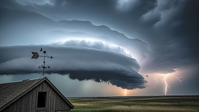
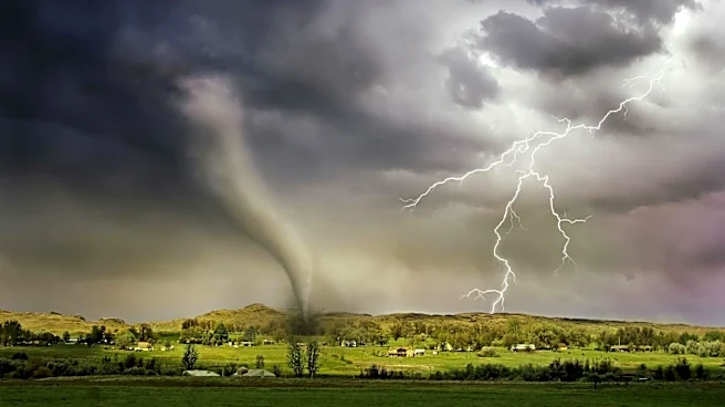
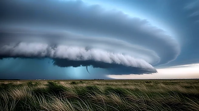
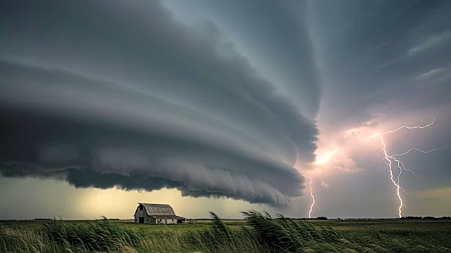
The central United States is bracing for a series of severe thunderstorms expected to unfold through Tuesday, with the potential for intense tornadoes, destructive hail, and damaging winds. The storms are
anticipated to develop across the Plains and Midwest, regions known for severe weather during spring. The highest tornado threat is expected from Sunday evening through Monday, particularly in areas like eastern Nebraska, southeast South Dakota, and western Iowa. The weather pattern also poses a significant wildfire risk in the Southern High Plains, with critical fire conditions forecasted from southwestern Kansas to northeastern New Mexico.
Why It's Important?
The severe weather poses significant risks to communities across the central US, potentially leading to property damage, disruptions, and safety hazards. Tornadoes, especially those rated EF3 or stronger, can cause widespread destruction, while large hail and strong winds threaten infrastructure and agriculture. The concurrent wildfire threat exacerbates the situation, as dry and windy conditions could lead to rapid fire spread, endangering lives and property. These events highlight the importance of preparedness and timely response from emergency services and local authorities to mitigate impacts.
What's Next?
As the storm system progresses, the focus will shift to monitoring and responding to the evolving weather conditions. Emergency services and local governments are likely to issue warnings and advisories to ensure public safety. Residents in affected areas should stay informed and prepared for potential evacuations or sheltering. The National Weather Service and other meteorological agencies will continue to track the storms, providing updates and forecasts to guide response efforts. The situation underscores the need for robust disaster preparedness and community resilience in the face of severe weather.