



What's Happening?
Southern California is bracing for a potentially significant El Niño event, a natural climate pattern originating in the tropical Pacific Ocean. El Niño is characterized by unusually warm water near the equator, which can alter global weather patterns.
This phenomenon is part of the larger El Niño-Southern Oscillation (ENSO) cycle, with its counterpart, La Niña, involving cooler water in the same region. While La Niña typically leads to drier conditions in Southern California, El Niño often brings increased rainfall, larger surf, coastal flooding, and warmer ocean temperatures. Scientists from UC San Diego’s Scripps Institution of Oceanography are closely monitoring the current El Niño, with forecast models indicating a moderate-to-large event, and some suggesting it could be the strongest in 150 years. Sea-surface temperatures in the relevant Pacific region are currently 3.6 degrees Fahrenheit above average, leading to a greater than 90% probability of a very strong El Niño during the fall and winter.
Why It's Important?
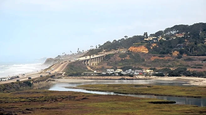
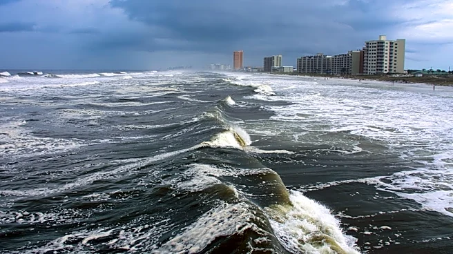
The anticipated El Niño carries significant implications for Southern California, particularly concerning weather-related hazards. Increased rainfall raises the risk of flooding, a concern highlighted by past events such as the January 2024 storms that severely impacted areas like Chollas Creek in Southcrest. Coastal communities face potential threats from larger surf, coastal flooding, and accelerated erosion, especially during high tides. Scripps scientists plan to map California’s coastline before and after this El Niño to assess changes and infrastructure damage, which could inform future sea-level rise predictions. Furthermore, El Niño can lead to warmer coastal waters and reduced nutrient availability for marine life, potentially impacting the marine food web and leading to less food for birds, sea lions, and whales. The event's strength, while significant in the tropical Pacific, does not guarantee a proportional impact on U.S. weather, but historical data suggests an increased likelihood of stronger and more frequent winter storms for San Diego County.
What's Next?
San Diego city workers and emergency services are already implementing preparations for the anticipated El Niño. The Office of Emergency Services has established an El Niño working group, comprising representatives from various city departments and public safety agencies. This group is tasked with coordinating storm preparedness, emergency response, and public communication strategies. Scientists will continue to monitor sea-surface temperatures and other climate indicators to refine predictions regarding the event's intensity and its specific impacts on Southern California. While the presence of El Niño is certain, its exact effects on rainfall and flooding remain less predictable. Residents in vulnerable areas are advised to stay informed and take necessary precautions as the fall and winter seasons approach, given the historical tendency for El Niño to bring wetter conditions to the region.
Beyond the Headlines
The current El Niño event underscores the complex interplay between global climate patterns and local environmental impacts. Beyond immediate concerns about flooding and coastal erosion, the phenomenon highlights broader ecological shifts. The warming of coastal waters and the suppression of nutrient upwelling, as described by Scripps researcher Art Miller, could have long-term consequences for marine ecosystems. This includes potential disruptions to the food chain, affecting various species from seabirds to whales. The research being conducted by Scripps scientists on coastal changes and infrastructure damage during this El Niño will provide valuable data for understanding and mitigating the effects of future sea-level rise. This event serves as a natural laboratory for studying climate resilience and adaptation strategies in a region highly susceptible to climate-related challenges, emphasizing the need for ongoing scientific research and proactive community planning.