




What's Happening?
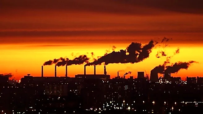
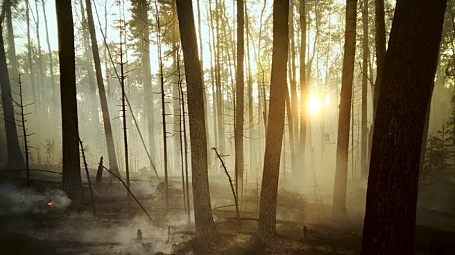
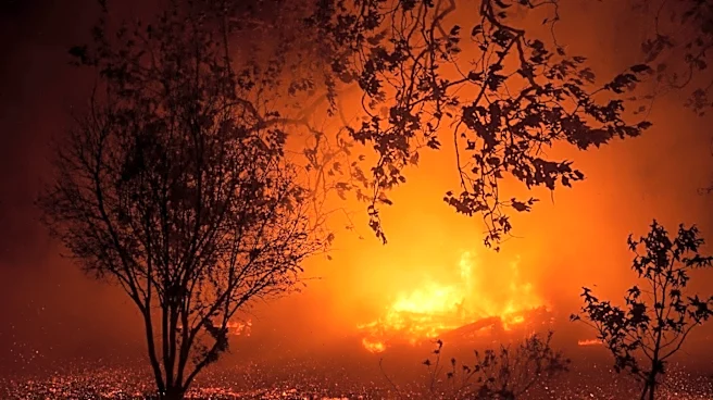
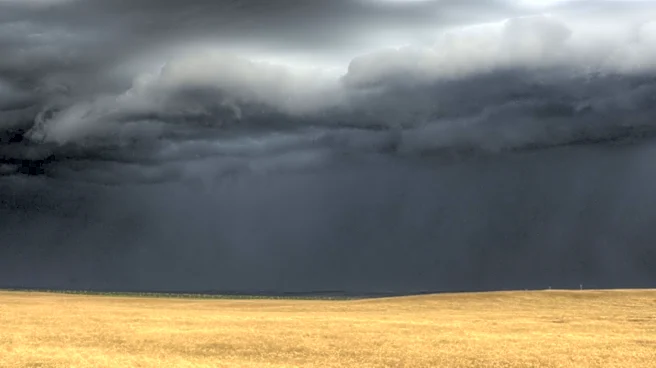
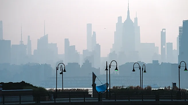
The Billings area is experiencing smoky conditions due to wildfire smoke from the Pacific Northwest and Canada. This has led to hazy skies and minor air quality impacts. As the week progresses, the weather pattern is expected to shift, bringing an increase
in thunderstorm chances. A stronger disturbance from the Great Basin is anticipated to bring widespread showers and thunderstorms, with the potential for heavy rainfall and gusty winds. By the weekend, a strengthening ridge is expected to bring hotter and drier conditions, with temperatures possibly reaching triple digits in some areas.
Why It's Important?
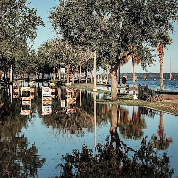
The current weather conditions in the Billings area have significant implications for public health and safety. The smoky haze can affect air quality, posing health risks, particularly for individuals with respiratory conditions. The anticipated thunderstorms and potential for heavy rainfall could lead to localized flooding, especially in areas with recent burn scars. The shift to hotter and drier conditions raises concerns about increased fire danger, as dry fuels and high temperatures create a conducive environment for wildfires. These weather patterns highlight the need for preparedness and caution among residents and local authorities.