
What's Happening?
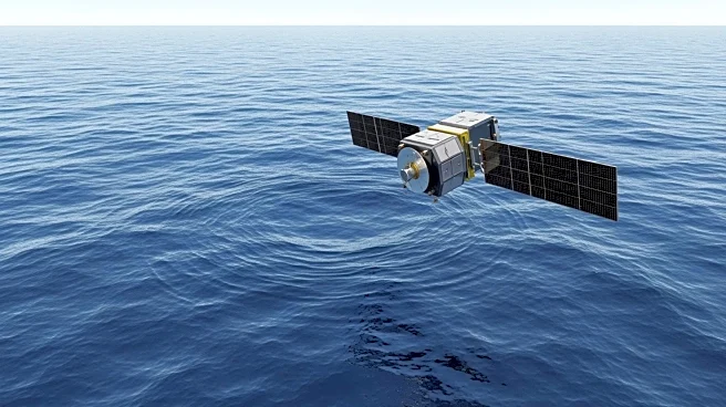
NASA, in collaboration with the French space agency CNES, has released one of the most detailed maps of Earth's seafloors using data from the Surface Water and Ocean Topography (SWOT) satellite mission.
Covering 90% of Earth's surface waters, SWOT's radar interferometry technology has revealed previously invisible deep-ocean features. The mission, which ran from April 2023 to July 2024, allows scientists to detect small seafloor features by measuring subtle changes in sea surface height caused by gravitational variations. This advancement provides a clearer view of underwater ridges, volcanoes, and abyssal hills, offering insights into geological processes and ocean dynamics.
Why It's Important?
The detailed mapping of Earth's seafloors has significant implications for oceanography, climate science, and marine resource management. By understanding seafloor topography, scientists can better model ocean currents, internal tides, and their effects on climate systems. The data also aids in planning submarine infrastructure, assessing natural hazards, and managing fisheries. The ability to detect smaller seafloor features enhances geological research, allowing for more accurate reconstructions of tectonic activity and plate movements. This initiative represents a leap forward in our understanding of the ocean's role in Earth's climate and ecosystem.
What's Next?
As SWOT continues its mission, further data collection will refine the accuracy of seafloor maps, potentially revealing even smaller features. The integration of satellite data with ship-based sonar measurements will enhance global bathymetric charts, improving navigation and hazard assessment. Researchers will likely explore new applications of this data in climate modeling and marine conservation. The success of the SWOT mission may inspire similar satellite initiatives, expanding our capacity to monitor and understand Earth's oceans.
Beyond the Headlines
The SWOT mission highlights the potential of satellite technology to overcome the limitations of traditional oceanographic methods. By providing comprehensive coverage of the ocean's surface, satellites offer a cost-effective and efficient means of gathering critical data. This approach underscores the importance of international collaboration in advancing scientific research and addressing global challenges. The insights gained from SWOT could inform policy decisions related to climate change, resource management, and environmental protection.