



What's Happening?
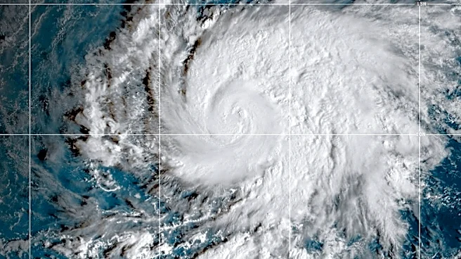
La Niña is a climate phenomenon characterized by cooler-than-average ocean temperatures in the eastern tropical Pacific Ocean. It is a phase of the El Niño-Southern Oscillation (ENSO) cycle, which involves significant changes in water and air movement
patterns across the tropical Pacific. During a La Niña event, the normal Walker circulation intensifies, leading to stronger easterly winds that push warm surface water further westward. This enhances the upwelling of cold water along the eastern Pacific coast, making the eastern Pacific Ocean even colder than usual. This increased temperature difference between the eastern and western Pacific strengthens circulation patterns, resulting in more extreme weather conditions globally. Regions typically dry, such as the coast of South America, may experience heavy rainfall and flooding, while areas usually receiving abundant rainfall, like parts of Australia and Indonesia, may face drought conditions. La Niña events are irregular, occurring every few years, with varying intensity and duration.
Why It's Important?
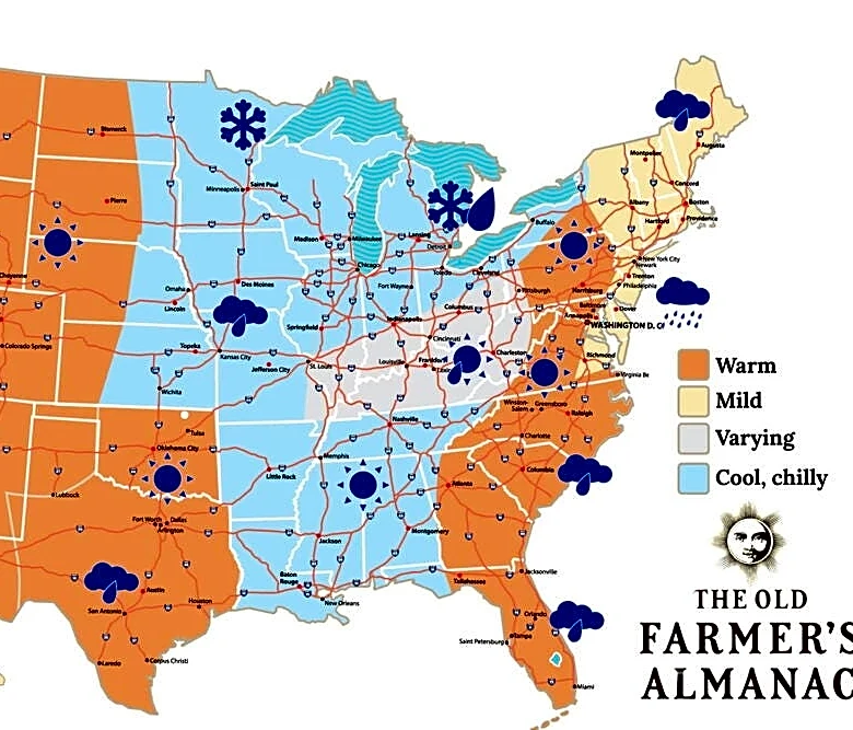
The intensification of normal weather patterns during La Niña has significant implications for various sectors, including agriculture, water management, and disaster preparedness. For the U.S., La Niña can influence seasonal weather, often leading to drier conditions in the southern states and wetter, colder conditions in the Pacific Northwest and northern Plains. This can impact crop yields, increase the risk of wildfires in drought-prone areas, and affect water supplies. Globally, the enhanced weather contrasts can lead to food insecurity in vulnerable regions due to droughts or floods, disrupting supply chains and potentially increasing commodity prices. Industries reliant on predictable weather patterns, such as farming, fishing, and tourism, face considerable economic risks. Understanding and predicting La Niña events are crucial for governments and businesses to implement mitigation strategies and prepare for potential environmental and economic disruptions.
What's Next?
Scientists continue to monitor ocean temperatures and atmospheric pressure changes in the Pacific Ocean to improve predictions of La Niña events. Enhanced predictive capabilities are vital for countries to prepare for potential droughts or flooding, which can help save lives and reduce economic losses. As La Niña events are irregular and complex, ongoing research into ocean-atmosphere interactions is critical. Governments and international organizations will likely continue to develop early warning systems and climate adaptation strategies to help communities cope with the extreme weather conditions associated with La Niña. This includes investing in resilient infrastructure, promoting sustainable agricultural practices, and establishing emergency response plans to mitigate the impacts of intensified weather patterns.
Beyond the Headlines
The recurring nature of La Niña and its counterpart, El Niño, highlights the intricate interconnectedness of global climate systems. Beyond immediate weather impacts, these phenomena underscore the broader challenges of climate variability and change. The increased frequency or intensity of extreme weather events due to La Niña can exacerbate existing environmental vulnerabilities, such as water scarcity and ecosystem degradation. There are also significant social equity implications, as marginalized communities often bear the brunt of climate-related disasters due to limited resources for adaptation and recovery. Long-term, understanding these natural climate oscillations is essential for distinguishing them from anthropogenic climate change, allowing for more accurate climate modeling and more effective policy interventions to build resilience against future climate shocks.