What is the story about?
What's Happening?
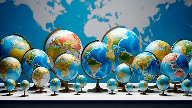
Geographers are calling for a shift from the traditional Mercator projection to equal-area map projections to better represent the world's geography. The Mercator projection, widely used for navigation, distorts the size of land masses, exaggerating areas like Greenland, Russia, and Canada. Dr. Ian S Evans, an emeritus reader in geography at the University of Durham, argues that modern digital tools offer various equal-area projections that can more accurately depict relative densities and distributions. These projections, such as cylindrical, azimuthal, and conic, can be tailored to focus on specific regions, providing a more realistic view of the world. The African Union has expressed interest in adopting alternatives like the Equal Earth projection to counter the biases inherent in the Mercator map.
Why It's Important?
The call for equal-area map projections is significant as it addresses the historical biases and inaccuracies in world maps that have influenced perceptions of global geography. The Mercator projection, while useful for navigation, has contributed to a skewed understanding of the size and importance of different regions, impacting political and cultural perceptions. By adopting more accurate map projections, educational institutions, policymakers, and the public can gain a better understanding of global geography, which is crucial for informed decision-making in areas such as international relations, trade, and environmental policy. This shift could lead to a more equitable representation of countries and regions, fostering a more balanced global perspective.
What's Next?
The movement towards equal-area map projections may gain momentum as more organizations and governments recognize the need for accurate geographical representations. Educational institutions might begin incorporating these projections into their curricula, and map publishers could start offering alternatives to the Mercator projection. The African Union's interest in the Equal Earth projection could inspire other regions to explore similar changes. As awareness grows, there may be increased advocacy for the adoption of these projections in official documents and media, potentially influencing public perception and policy decisions.
Beyond the Headlines
The shift to equal-area map projections could have deeper implications for cultural and political identity. Maps play a crucial role in shaping how people view their place in the world, and more accurate representations could challenge long-standing stereotypes and biases. This change might also influence geopolitical strategies, as countries reassess their perceived size and influence. Additionally, the adoption of new map projections could spark discussions about the role of cartography in colonialism and the importance of decolonizing geographical representations.


