


What's Happening?
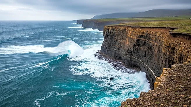
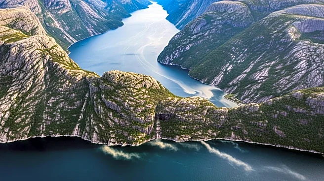
NASA's Earth Observatory has documented significant landscape changes in the Tracy Arm fjord in southeast Alaska following a landslide and tsunami on August 10, 2025. The event was triggered by the rapid retreat of the South Sawyer Glacier, which led
to a massive landslide of at least 64 million cubic meters of rock into the fjord. This caused a tsunami that stripped vegetation from the fjord walls up to 1,578 feet above sea level. The Landsat satellites captured images before and after the event, showing the stark contrast in the landscape. The landslide and subsequent tsunami also generated seismic signals equivalent to a magnitude 5.4 earthquake. Researchers have been analyzing satellite, airborne, and ground-based data to understand the event's dynamics, which were published in the journal Science.
Why It's Important?
The event highlights the potential hazards associated with glacial retreat and the resulting landscape instability. The rapid changes in the Tracy Arm fjord serve as a reminder of the dynamic nature of glacial environments and the risks they pose to nearby communities and ecosystems. The study of such events can improve understanding of glacial dynamics and help predict future occurrences, potentially aiding in the development of early warning systems. The findings also underscore the importance of monitoring glacial regions as climate change continues to impact these sensitive areas, potentially increasing the frequency and severity of such natural disasters.
What's Next?
Researchers will continue to monitor the Tracy Arm fjord and similar regions to gather more data on the effects of glacial retreat and associated natural hazards. The insights gained could inform future safety measures and policies to protect communities and ecosystems in glacial regions. Additionally, the study may lead to advancements in predictive modeling of landslides and tsunamis, contributing to global efforts in disaster risk reduction.