


What's Happening?
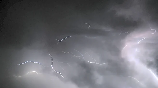
South Florida is set to experience a brief respite from recent wet and stormy weather, with lower chances of rain and thunderstorms expected over the weekend. This comes after a period of heavy rainfall that affected the region. However, residents should
not become complacent, as higher chances of showers and thunderstorms are forecasted to return next week. The temporary decrease in rain chances provides an opportunity for outdoor activities and recovery from the recent storms.
Why It's Important?
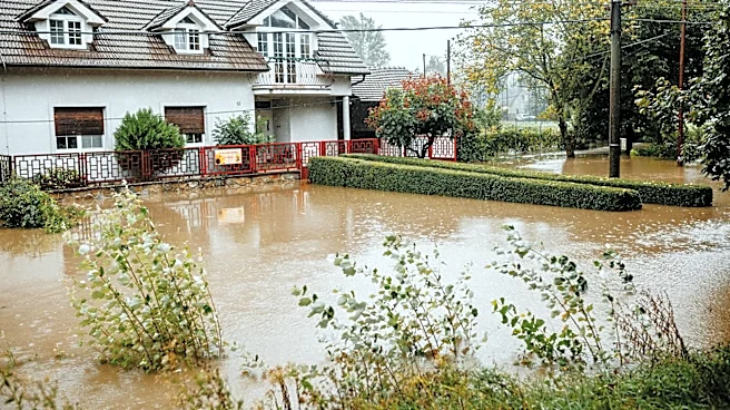
The temporary reduction in rain chances offers a much-needed break for South Florida, allowing for recovery from recent flooding and water accumulation. This period of drier weather can help mitigate the risk of further flooding and provide relief to residents and businesses affected by the recent storms. However, the forecasted return of higher rain chances next week underscores the need for continued vigilance and preparedness, particularly in flood-prone areas. The fluctuating weather patterns highlight the challenges of managing water resources and infrastructure in a region prone to heavy rainfall and tropical storms.
What's Next?
As the weekend progresses, meteorologists and local authorities will continue to monitor weather patterns to provide updated forecasts and advisories. Residents are encouraged to stay informed about weather developments and prepare for the potential return of wet conditions next week. This includes ensuring that drainage systems are clear and that emergency plans are in place. The situation also presents an opportunity for local governments to assess and improve flood management strategies to better cope with future weather events.