





What's Happening?
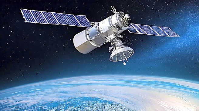
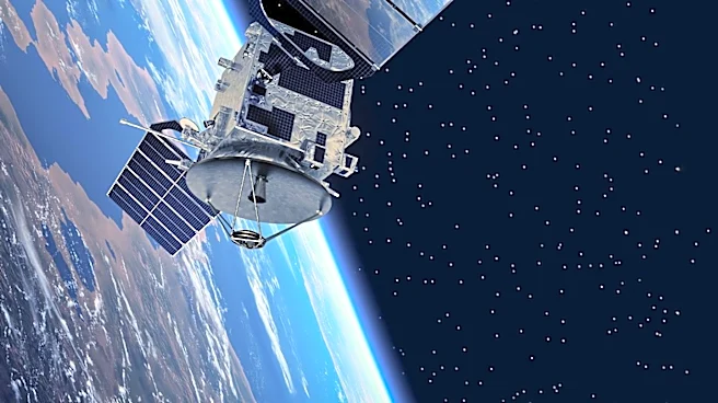
Researchers at Kyoto University have developed a new technique using Starlink satellites to map the thermosphere, the upper layer of Earth's atmosphere. By analyzing the decay of satellite orbits due to atmospheric drag, scientists created a two-dimensional
map of thermospheric density. This innovative approach provides valuable data for understanding atmospheric conditions and improving satellite navigation and collision avoidance. The study represents the first tomographic analysis of the thermosphere using satellite data.
Why It's Important?
Accurate measurements of the thermosphere are crucial for predicting satellite trajectories and reducing collision risks in increasingly crowded orbits. This research enhances our understanding of atmospheric dynamics and supports the development of safer satellite operations. The ability to monitor atmospheric density in near-real-time could improve space weather forecasting and contribute to more reliable satellite communications and navigation systems.