


What's Happening?
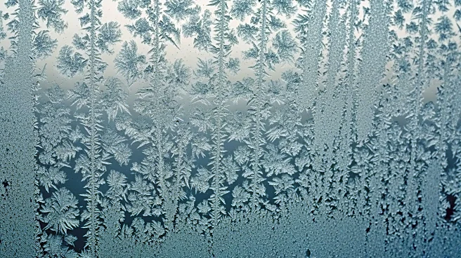
The National Weather Service has issued extreme cold warnings across large portions of western and central New York, with wind chills expected to drop as low as 30 below zero. The coldest conditions are anticipated from Saturday into Sunday morning, affecting
counties such as Erie, Wyoming, Livingston, Ontario, Chautauqua, Cattaraugus, and Allegany. Frostbite can occur on exposed skin in as little as 15 minutes under these conditions, making outdoor activities dangerous. Additionally, winter weather advisories are in effect due to lake-effect snow and gusty winds, with snowfall of 1 to 3 inches expected in parts of western New York. Winds gusting up to 40 mph will cause blowing and drifting snow, reducing visibility and making roads slippery.
Why It's Important?
The extreme cold and snow conditions pose significant risks to public safety and transportation in New York. Residents are advised to limit outdoor exposure, dress warmly, and check on vulnerable neighbors. The weather conditions could disrupt daily activities, travel, and potentially lead to power outages. The advisories highlight the need for preparedness in dealing with severe winter weather, emphasizing the importance of community support and emergency services in mitigating the impact of such conditions.
What's Next?
The extreme cold and snow conditions are expected to persist through the weekend, with advisories in place until Sunday morning. Residents should continue to monitor weather updates and follow safety guidelines. Emergency services and local authorities will likely remain on high alert to respond to any weather-related incidents. The situation underscores the importance of readiness for future severe weather events, as climate patterns continue to present challenges.