



What's Happening?
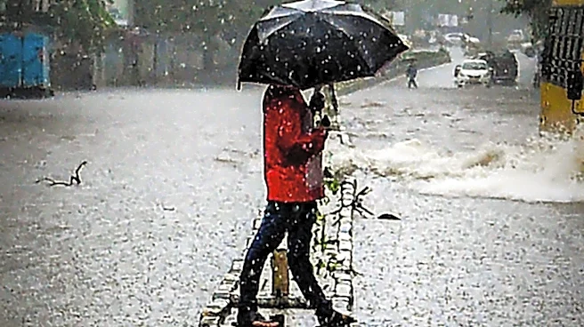
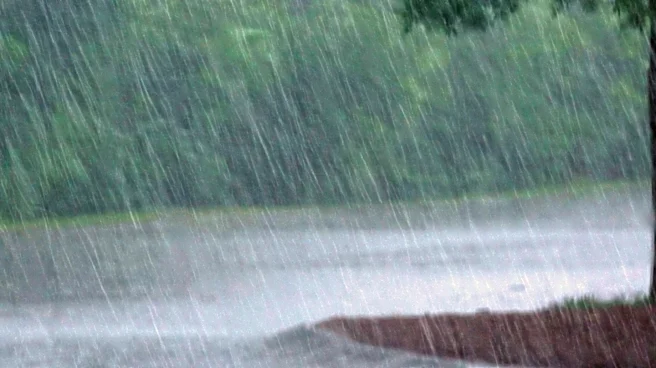
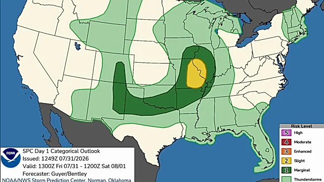
The weather forecast for Vermont and New Hampshire indicates showers and heavy downpours from late Sunday through Monday, with isolated flash flooding possible. While northern parts of the region are dry and could benefit from the rain, localized rainfall
amounts may exceed 2 inches, posing a flood risk. Embedded thunderstorms with heavy downpours are expected, although severe weather is not anticipated. The situation is being monitored closely by weather teams.
Why It's Important?
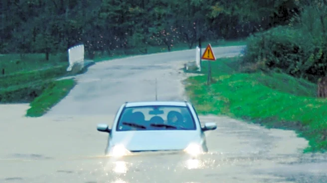
The potential for flash flooding poses a risk to communities in Vermont and New Hampshire, affecting infrastructure, homes, and local businesses. Flooding can lead to road closures, property damage, and disruptions in daily life. It is crucial for residents to stay informed and prepared for possible emergency situations. The weather conditions also highlight the importance of effective flood management and preparedness strategies in mitigating the impact of such events.
What's Next?
Weather teams will continue to monitor the situation and provide updates as necessary. Residents are advised to stay alert to weather warnings and prepare for possible flooding. The forecast suggests quieter weather with mostly sunny skies by Tuesday, offering relief from the heavy rains. Local authorities may issue advisories or take preventive measures to minimize the impact of potential flooding.