





What's Happening?
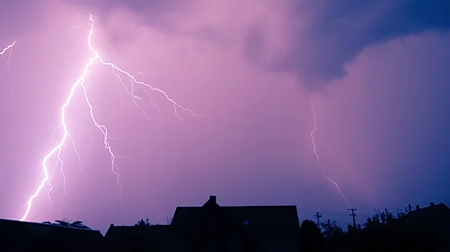
The National Weather Service's Storm Prediction Center has issued a severe thunderstorm watch for parts of east-central Illinois and central Indiana. The watch is in effect from 2:40 PM until 9:00 PM EDT. The primary threats include widespread damaging
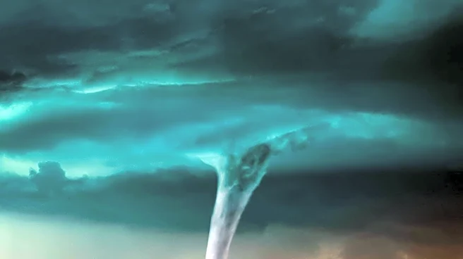
winds, isolated significant gusts up to 80 mph, and the possibility of large hail and tornadoes. An intensifying cluster of thunderstorms is expected to move southward through a moist and unstable air mass, posing a risk of severe weather conditions.
Why It's Important?
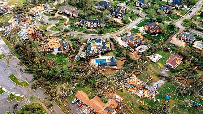
The issuance of a severe thunderstorm watch highlights the potential for dangerous weather conditions that could impact communities in the affected areas. Severe thunderstorms can cause significant damage to property, disrupt transportation, and pose risks to public safety. The watch serves as a reminder for residents to stay informed and prepared for possible severe weather, emphasizing the importance of timely warnings and emergency preparedness measures.
What's Next?
Residents in the watch area are advised to remain alert and monitor weather updates throughout the evening. The National Weather Service will continue to track the storm's progress and issue warnings as necessary. Local authorities may implement emergency response plans to address potential impacts, including power outages and damage to infrastructure. The situation underscores the need for effective communication and coordination among emergency services and the public to ensure safety during severe weather events.