





What's Happening?
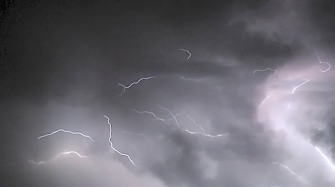
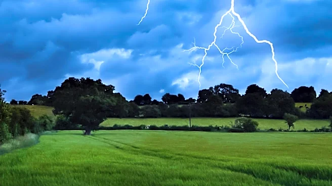
A Severe Thunderstorm Watch has been issued for the Michiana region, affecting parts of Indiana and Michigan. The watch, which is set to expire at 8 p.m. EDT, follows a Severe Thunderstorm Warning that impacted several counties earlier in the day. The Storm
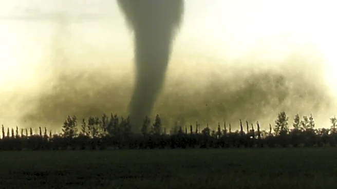
Prediction Center has placed the area under a Level 2 risk for severe weather, with the main concerns being damaging winds and the possibility of isolated tornadoes. The storms are expected to bring heavy rain and high humidity, with conditions persisting into the early part of the week.
Why It's Important?
The issuance of a Severe Thunderstorm Watch indicates a heightened risk of hazardous weather conditions that could lead to property damage and pose safety risks to residents. The potential for damaging winds and tornadoes necessitates vigilance and preparedness among the affected communities. Such weather events can disrupt transportation, power supply, and daily activities, emphasizing the importance of timely warnings and effective emergency response plans.
What's Next?
Residents in the affected areas should remain alert to weather updates and be prepared to take shelter if necessary. The storms are expected to continue into Monday, with the potential for further severe weather. Local authorities and emergency services will likely be on standby to respond to any incidents. As the week progresses, weather conditions are expected to improve, with cooler temperatures anticipated by Friday.