


What's Happening?
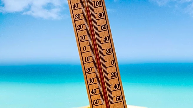
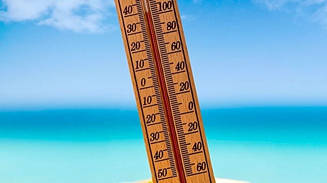
The Midstate region, including Nashville, Tennessee, is experiencing typical August weather with high temperatures and humidity levels. The forecast predicts highs in the low to mid-90s, with heat indices reaching around 100°F. Pop-up storms are expected,
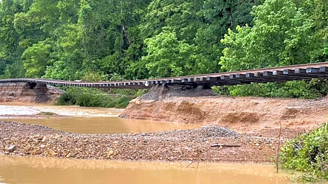
particularly east of I-65, which could lead to localized flooding. The weather pattern is expected to continue into the weekend, with similar conditions persisting into next week. Residents are advised to stay hydrated and take precautions against the heat, as well as to be aware of potential thunderstorms and their associated risks.
Why It's Important?
The ongoing heat and humidity in the Midstate region pose health risks, particularly for vulnerable populations such as the elderly and those with pre-existing health conditions. High temperatures can lead to heat-related illnesses, making it crucial for residents to take preventive measures. The potential for localized flooding from pop-up storms also highlights the need for awareness and preparedness, as sudden downpours can impact transportation and infrastructure. The weather conditions underscore the importance of reliable forecasting and public communication to ensure community safety and resilience.
What's Next?
As the heatwave continues, local authorities and weather services will likely issue advisories and updates to keep the public informed. Residents are encouraged to monitor weather forecasts and heed any warnings or recommendations. The persistence of high temperatures may prompt discussions on long-term strategies for managing heat-related challenges, including infrastructure improvements and community support systems. The situation also serves as a reminder of the broader impacts of climate patterns on regional weather and the importance of adaptive measures.