


What's Happening?
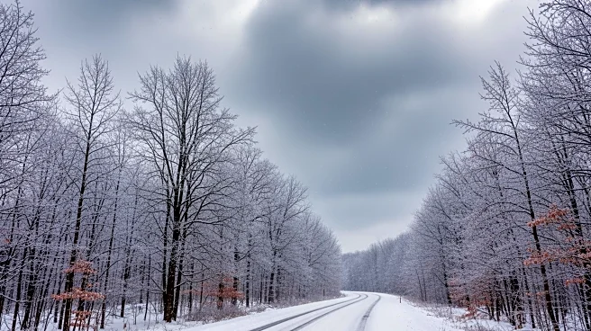
The National Weather Service (NWS) has issued Winter Storm Warnings for parts of New York and Michigan, forecasting heavy lake-effect snow and strong winds that could create hazardous travel conditions. The warnings are in effect from Tuesday, January
20, through Wednesday, January 21. In Michigan, areas such as Alger, Luce, and northern Schoolcraft Counties are expected to receive up to 4 inches of snow, with winds up to 25 mph causing blowing and drifting snow. In New York, the eastern Lake Ontario Region, including Jefferson, northern Oswego, and western Lewis Counties, could see up to 4 feet of snow and winds up to 35 mph, leading to whiteout conditions. The NWS advises residents and travelers to prepare for dangerous travel conditions, reduced visibility, and potential life-threatening situations in the heaviest snow bands.
Why It's Important?
The winter storm warnings highlight the potential for significant disruptions in travel and daily activities in affected areas. The heavy snowfall and strong winds could lead to road closures, flight cancellations, and power outages, impacting residents and businesses. The warnings also emphasize the importance of preparedness, as the NWS advises keeping emergency kits in vehicles and limiting outdoor exposure to prevent frostbite. The storm's impact on major population corridors and key travel routes across the Great Lakes and Northeast underscores the need for caution and readiness among communities and local authorities.
What's Next?
As the storm progresses, residents and travelers in the affected regions should monitor updates from the NWS and local authorities. The NWS recommends allowing extra time for travel and checking the latest weather conditions before departing. Communities may need to activate emergency response plans to address potential power outages and assist stranded travelers. The storm's aftermath could require significant cleanup efforts, particularly in areas experiencing the heaviest snowfall and strongest winds.