
What's Happening?
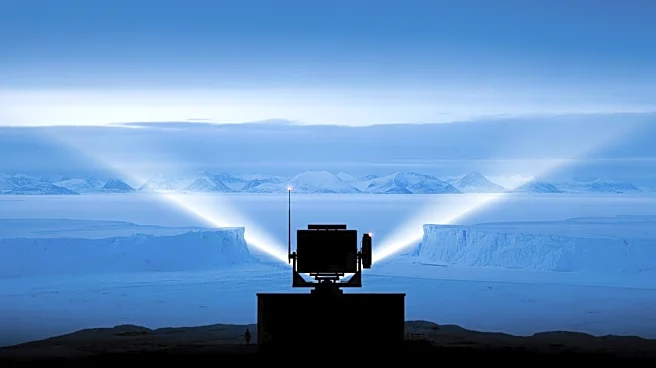
Researchers at Johns Hopkins University and Imperial College London have developed a new method to track space debris using earthquake sensors. This innovative approach aims to address the challenge of
predicting where space debris, such as old satellites and spent rocket stages, will land on Earth. Traditionally, radar and optical tracking are used to monitor objects in orbit, but these methods become less effective as debris re-enters the atmosphere due to erratic paths caused by atmospheric effects. The new method utilizes seismic sensors, which are already widely installed globally, to detect the sonic booms of debris as they fall. This technique was tested on a 1.5-ton module from China's Shenzhou 17 crew capsule, which fell to Earth in April 2024. The sensors tracked the module's sonic boom, revealing it traveled about 25 miles north of the US Space Command's estimate, potentially affecting areas between Bakersfield, California, and Las Vegas, Nevada.
Why It's Important?
The development of this tracking method is significant as it enhances the ability to predict and respond to the re-entry of space debris, which poses risks to both aviation and populated areas. The incident in November 2022, where airspace in Spain and France was closed due to fears of falling debris from a Chinese rocket, highlights the economic and safety implications of unpredictable debris paths. By providing real-time data, this method could improve safety measures and reduce economic losses by allowing for more accurate predictions and timely responses. This advancement is crucial as the amount of space debris continues to grow, increasing the likelihood of such incidents.
What's Next?
The implementation of this method could lead to more widespread use of earthquake sensors for tracking space debris, potentially becoming a standard practice in space monitoring. Authorities may begin integrating this technology into existing systems to enhance safety protocols and minimize disruptions caused by falling debris. Further research and development could refine the accuracy of this method, making it a vital tool for space agencies and governments worldwide. Additionally, collaboration between international space agencies could be fostered to share data and improve global tracking capabilities.