





What's Happening?
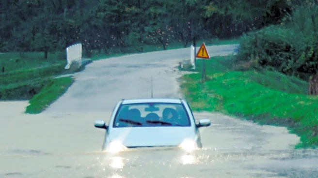
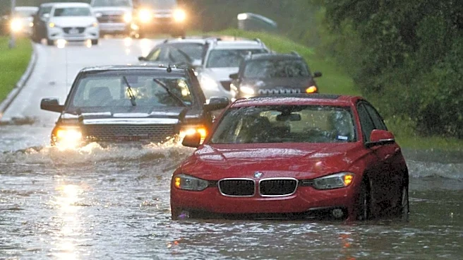
A flood watch has been issued for Tallahassee, the Big Bend region, and South Georgia due to anticipated heavy rainfall on Sunday and Monday. Meteorologists are forecasting between 2 and 6 inches of rain, with potential for localized higher amounts. Showers
and storms are expected to increase in coverage throughout Sunday afternoon and evening, continuing into Monday. This persistent wet weather pattern is attributed to a front lifting north into the region and low pressure to the west bringing tropical moisture. Skies are expected to remain mostly cloudy, keeping temperatures in the upper 70s and low 80s. The rain is expected to continue into early next week, with Tuesday still seeing significant showers before a front dips south, bringing less humid air and lower rain chances by Wednesday and Thursday.
Why It's Important?
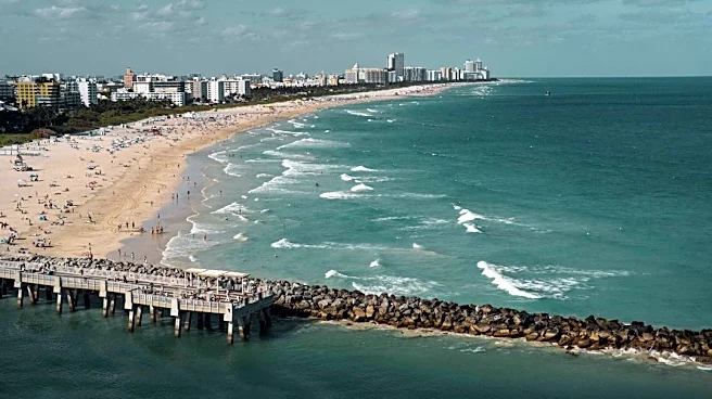
The flood watch carries significant implications for residents and infrastructure in Tallahassee, the Big Bend, and South Georgia. Heavy rainfall can lead to localized flooding, disrupting daily life, impacting transportation, and potentially causing property damage. For coastal areas, the combination of showers and storms will result in rough waters and dangerous rip currents, making swimming inadvisable and prompting red flag warnings through early next week. This poses a direct threat to public safety for those engaging in beach and boating activities. The sustained wet conditions could also affect agricultural operations in the region, depending on the severity and duration of the rainfall. The influx of tropical moisture and the persistent weather pattern highlight the vulnerability of the region to such events, underscoring the importance of robust flood preparedness and emergency response systems.
What's Next?
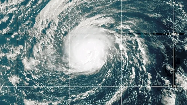
Residents in the affected areas should prepare for continued heavy rainfall through Monday, with localized flooding remaining a significant concern. The flood watch is expected to remain in effect, and authorities will likely continue to monitor weather conditions closely. Dangerous rip currents and rough waters are anticipated to persist through early next week, necessitating caution for anyone near coastal areas. While rain chances are expected to decrease by Wednesday and Thursday as a front moves south, the region will experience choppy conditions in bays and protected waters, along with a high rip current risk. The National Hurricane Center is also monitoring an area of interest over the Bay of Campeche with a low chance of tropical development, which could further influence weather patterns in the Gulf Coast region later in the week, potentially leading to more showers and rough boating conditions.
Beyond the Headlines
The recurring pattern of heavy rainfall and the issuance of flood watches in the Big Bend and South Georgia regions underscore broader climate trends and their impact on local communities. Such events can strain local emergency services, infrastructure, and public resources. Beyond immediate concerns, persistent heavy rain can contribute to long-term environmental issues, including soil erosion, water quality degradation, and increased pressure on stormwater management systems. The mention of tropical moisture and potential tropical development highlights the region's susceptibility to tropical weather systems, which are projected to become more intense with climate change. This necessitates ongoing investment in resilient infrastructure, improved early warning systems, and public education on flood preparedness to mitigate the escalating risks associated with extreme weather events in the U.S. Southeast.