


What's Happening?
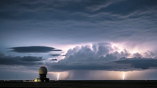
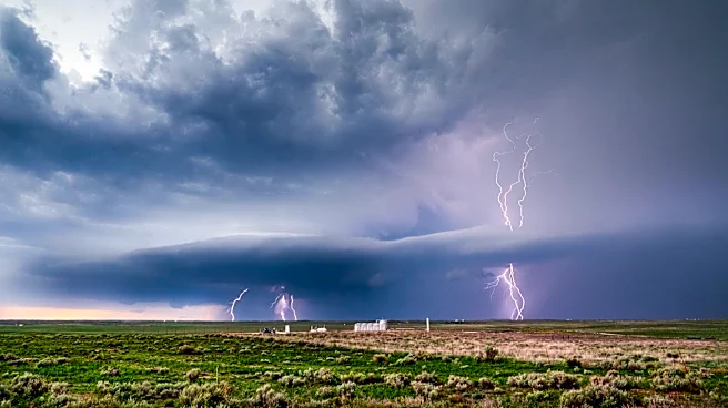
North Texas is bracing for potential flooding as heavy showers and thunderstorms are expected to move into the region on Thursday. The Dallas-Fort Worth area will experience a temporary respite from rain on Wednesday, but meteorologists have issued a First
Alert Weather Day for Thursday due to the anticipated heavy rainfall and non-severe thunderstorms. The weather system is expected to bring significant precipitation, raising concerns about localized flooding in low-lying areas. Residents are advised to stay informed about weather updates and take necessary precautions to protect property and ensure safety.
Why It's Important?
The anticipated severe weather in North Texas highlights the ongoing challenges posed by extreme weather events, which can disrupt daily life and impact local economies. Flooding can lead to property damage, road closures, and potential power outages, affecting both residents and businesses. The situation underscores the importance of preparedness and effective communication from local authorities to mitigate risks. Additionally, the event serves as a reminder of the broader implications of climate variability and the need for resilient infrastructure to withstand such weather patterns.
What's Next?
As the weather system approaches, local authorities and emergency services are likely to monitor conditions closely and provide updates to the public. Residents may be advised to secure outdoor items, prepare emergency kits, and plan for potential disruptions. The response from local government and community organizations will be crucial in managing the impact of the weather event. Continued monitoring of weather forecasts and adherence to safety advisories will be essential for minimizing risks associated with the anticipated heavy rainfall.