


What's Happening?
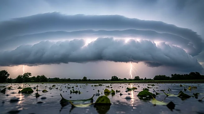
Maryland is currently experiencing unusually warm weather conditions, with temperatures reaching near record highs for this time of year. This spring-like weather is expected to continue until Wednesday, when a shift in weather patterns will bring rain
to the region. The warm spell is part of a broader trend of unseasonably high temperatures affecting various parts of the United States. Meteorologists are monitoring the situation closely as the anticipated rain could lead to stormy conditions, potentially impacting local communities and infrastructure.
Why It's Important?
The near record warmth in Maryland highlights ongoing climate variability and its potential impacts on local weather patterns. Such temperature fluctuations can have significant effects on agriculture, energy consumption, and public health. For instance, warmer temperatures may lead to increased energy demand for cooling, while also affecting crop growth cycles. Additionally, the anticipated stormy weather could disrupt daily activities and pose challenges for transportation and infrastructure. Understanding these weather patterns is crucial for local authorities and residents to prepare and mitigate potential adverse effects.
What's Next?
As the warm weather gives way to rain on Wednesday, residents and local authorities are advised to stay informed about weather updates and potential storm warnings. Preparations for possible flooding or storm damage may be necessary, particularly in vulnerable areas. Meteorologists will continue to monitor the situation and provide updates as the weather system develops. The transition from warm to stormy weather serves as a reminder of the importance of preparedness and resilience in the face of changing climate conditions.