


What's Happening?
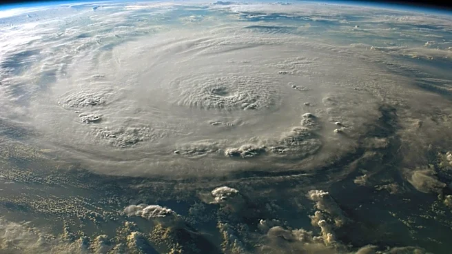
Tropical Storm Amanda has formed in the eastern Pacific Ocean, marking the first named storm of the 2026 hurricane season. The storm's development is attributed to ocean conditions influenced by a developing El Niño, which is expected to result in a more
active hurricane season in the Pacific compared to the Atlantic. Historically, most storms in the eastern Pacific remain over the ocean, but some have impacted Hawaii, the west coast of Mexico, and the southwestern United States. The storm's formation has been captured in a nighttime image using data from the Visible Infrared Imaging Radiometer Suite (VIIRS) aboard the NOAA-20 platform.
Why It's Important?
The emergence of Tropical Storm Amanda signals the start of what is anticipated to be a busy hurricane season in the eastern Pacific, potentially affecting regions that are already vulnerable to natural disasters. The increased activity is linked to El Niño conditions, which can alter weather patterns and increase the frequency and intensity of storms. This development is significant for disaster preparedness and response efforts in affected areas, as well as for the insurance and agriculture industries that may face increased risks. The storm also serves as a reminder of the broader impacts of climate variability on weather systems.
What's Next?
As the hurricane season progresses, monitoring and forecasting efforts will be crucial in predicting the paths and potential impacts of storms like Amanda. Authorities in regions at risk, including Hawaii and parts of the U.S. and Mexico, will need to prepare for possible landfall and associated weather events. The scientific community will continue to study the effects of El Niño on hurricane activity to improve predictive models and enhance preparedness strategies. Public awareness campaigns may be launched to inform residents in vulnerable areas about safety measures and evacuation plans.