


What's Happening?
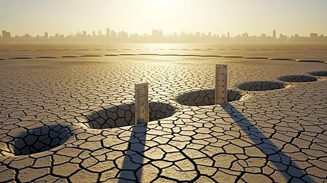
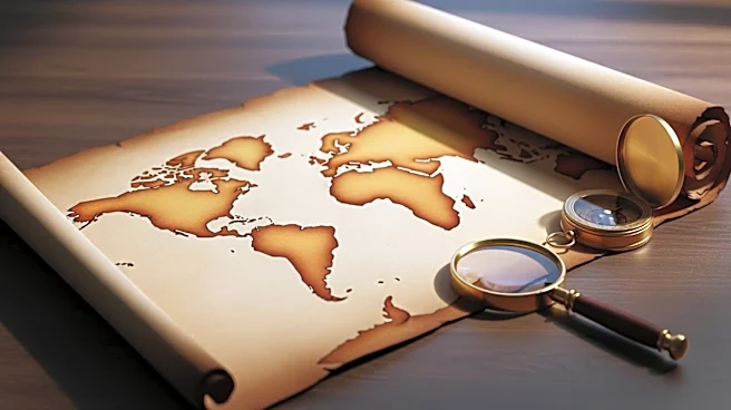
Scientists at Utrecht University have developed a groundbreaking tool that allows users to trace the historical positions of continents over the past 320 million years. This model, accessible via Paleolatitude.org, incorporates data on tectonic plate
movements and 'lost continents' to provide a comprehensive view of Earth's ancient geography. The tool enhances previous models by including smaller tectonic plates and fragments of ancient landmasses, offering unprecedented resolution. This advancement aids in understanding past climates and geological formations by accurately placing rocks and fossils in their original latitudinal positions.
Why It's Important?
This tool represents a significant advancement in paleogeography, offering researchers a more precise method to study Earth's historical climate and geological changes. By accurately tracing the positions of continents, scientists can better understand the environmental conditions that influenced the evolution of life and major geological events. This has implications for fields such as paleontology, where understanding the original environments of fossils can provide insights into past biodiversity and extinction events. The tool also aids in separating global climate signals from local geological changes, enhancing climate models and historical climate reconstructions.
What's Next?
The research team plans to extend the model's reach to 550 million years ago, covering the Cambrian explosion when complex life began to diversify. This extension would provide a more comprehensive view of Earth's geological history, offering further insights into the evolution of life and the planet's climate. The tool's continued development will likely involve integrating more data and refining its accuracy, potentially leading to new discoveries in Earth's history and climate science.
Beyond the Headlines
The tool's ability to trace 'lost continents' and tectonic shifts offers a deeper understanding of Earth's dynamic history, challenging traditional views of static continental positions. This could lead to new theories about the formation of mountain ranges, ocean basins, and the distribution of natural resources. Additionally, the tool's public accessibility allows educators and enthusiasts to explore Earth's history, fostering greater public interest and understanding of geological sciences.