


What's Happening?
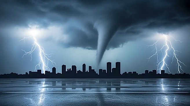
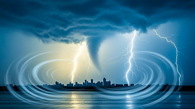
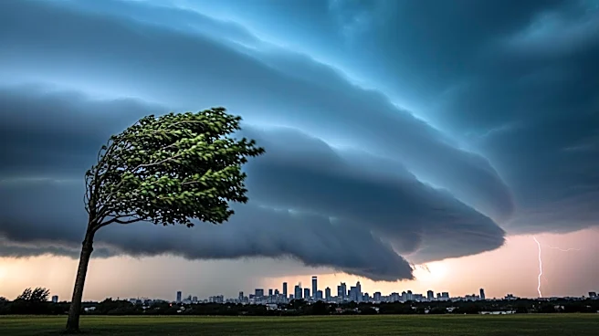
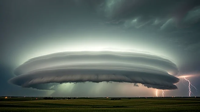
The Chicago area is bracing for severe storms expected to hit this evening, with the most significant impact anticipated from late afternoon through midnight. The National Weather Service has issued multiple warnings, including Tornado Watches and Severe
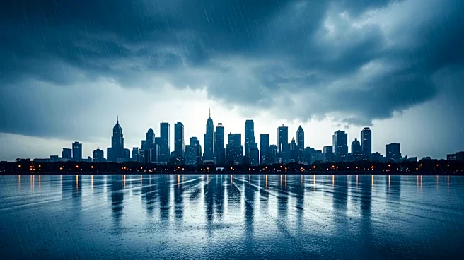
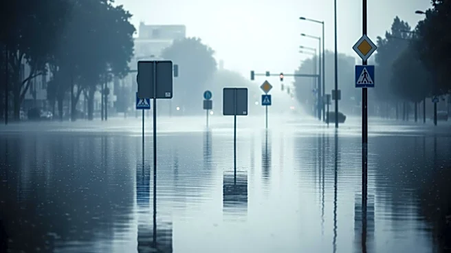
Thunderstorm Warnings for several counties. The primary concerns are damaging winds, large hail, and the potential for tornadoes, particularly west of Chicago. Heavy rainfall is also expected, which could lead to localized flooding, especially in areas where rivers are already rising. The storms are part of a broader weather system affecting the Midwest, placing the Chicago area in a Level 3 out of 5 risk for severe weather.
Why It's Important?
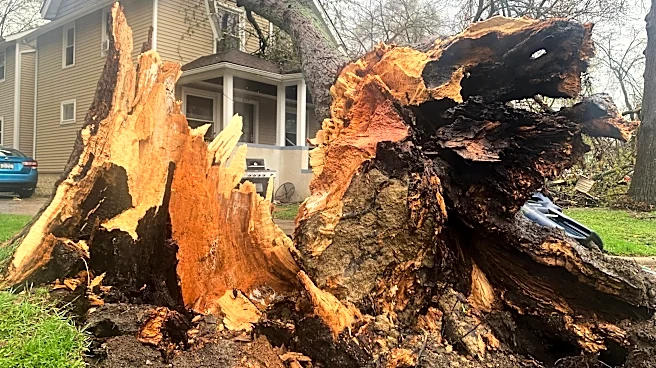
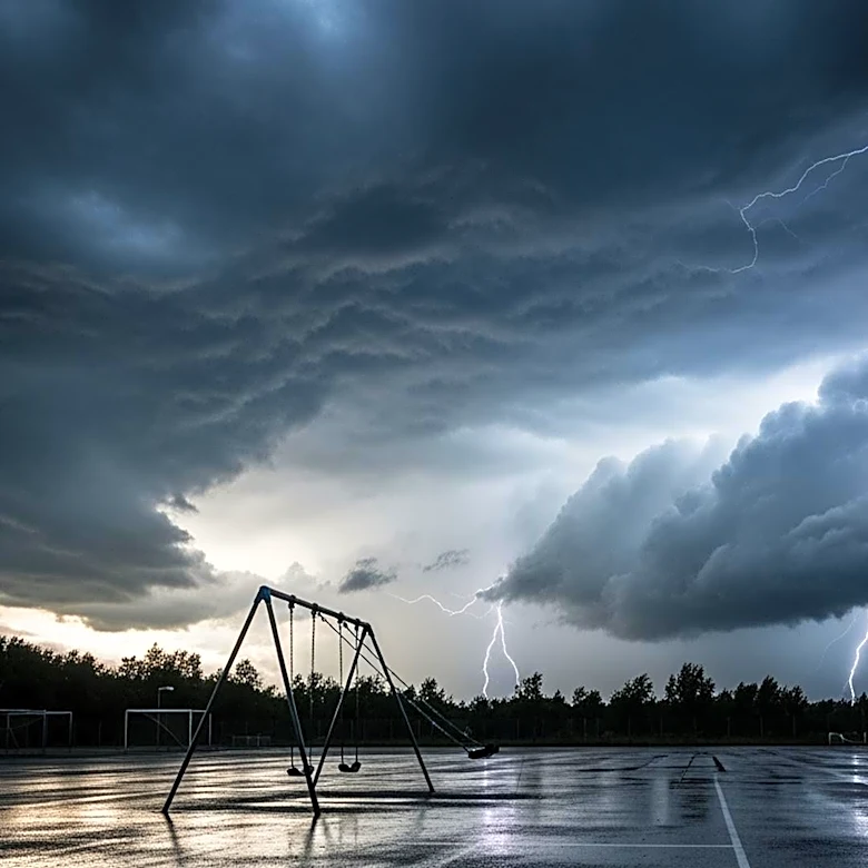
The severe weather poses significant risks to public safety and infrastructure in the Chicago area. Damaging winds and potential tornadoes could lead to property damage, power outages, and disruptions in transportation. The threat of flooding adds to the potential for widespread impact, particularly in areas with already elevated river levels. Emergency services and utility companies are on high alert, with ComEd opening its Emergency Operations Center and preparing additional crews to respond to outages. The situation underscores the importance of preparedness and timely communication to mitigate the impact on residents and businesses.
What's Next?
As the storms progress, residents are advised to stay informed through weather updates and heed warnings from local authorities. The severe weather is expected to subside by midnight, with cooler and drier conditions forecasted for Saturday. However, the aftermath of the storms could include power outages and cleanup efforts, particularly in areas hardest hit by wind and flooding. The National Weather Service will continue to monitor the situation and provide updates as necessary.