

What's Happening?
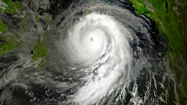
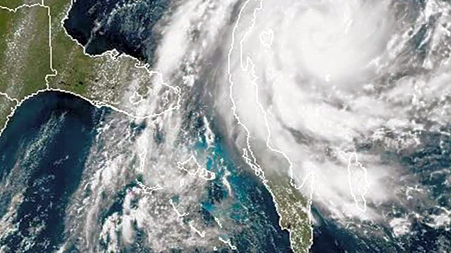
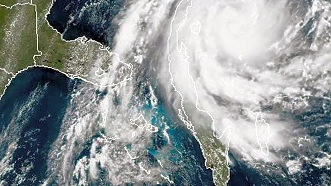
Typhoon 32, named Champaka, was located south of Japan on November 9, 2026, at 9 AM, moving northwest. The Japan Meteorological Agency reported its central position at 23 degrees 40 minutes North latitude and 135 degrees 10 minutes East longitude, with
a central pressure of 980 hPa, maximum sustained winds of 35 m/s, and maximum instantaneous winds of 50 m/s. The typhoon is expected to rapidly intensify, reaching a central pressure of 960 hPa and maximum instantaneous winds of 60 m/s by the morning of November 10. Following this intensification, Champaka is forecast to significantly alter its course eastward, maintaining its strong intensity as it approaches the vicinity of Chichi-jima in the Ogasawara Islands by November 11. By November 14, it is projected to weaken and transition into a tropical low-pressure system near Minamitorishima.
Why It's Important?
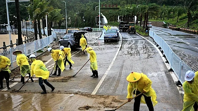
The rapid intensification and projected path of Typhoon Champaka pose a significant threat to the Ogasawara Islands, particularly Chichi-jima. Such strong typhoons can cause extensive damage to infrastructure, disrupt transportation and communication, and endanger residents. For the U.S., while the direct impact may be limited given the typhoon's current trajectory towards Japanese territory, severe weather events in the Pacific can affect shipping lanes and regional stability, potentially impacting U.S. economic interests and military operations in the broader Indo-Pacific region. The need for robust disaster preparedness and response mechanisms in affected areas is highlighted, as well as the importance of international cooperation in weather monitoring and humanitarian aid.
What's Next?
Typhoon Champaka is expected to continue its rapid intensification through November 10, reaching its peak strength before gradually weakening. Residents of the Ogasawara Islands, especially Chichi-jima, are advised to prepare for severe weather conditions, including high winds and heavy rainfall, as the typhoon approaches on November 11. Emergency services and local authorities will likely issue further advisories and implement precautionary measures, such as evacuation orders, as the situation develops. After passing the Ogasawara Islands, the typhoon is forecast to move eastward towards Minamitorishima, gradually losing strength and transforming into a tropical low-pressure system by November 14. Continuous monitoring by meteorological agencies will be crucial to track any shifts in its path or intensity.
Beyond the Headlines
The increasing frequency and intensity of typhoons like Champaka raise broader questions about climate change and its impact on weather patterns in the Pacific. While this specific event is localized, it contributes to a growing trend of extreme weather phenomena that challenge existing infrastructure and disaster preparedness strategies. The long-term implications include potential shifts in regional ecosystems, increased costs for disaster recovery, and the need for more resilient urban planning in vulnerable island communities. Furthermore, the event underscores the critical role of advanced meteorological forecasting and international data sharing in mitigating the human and economic costs of such powerful storms, prompting discussions on climate adaptation and resilience strategies across the Pacific Rim.