


What's Happening?
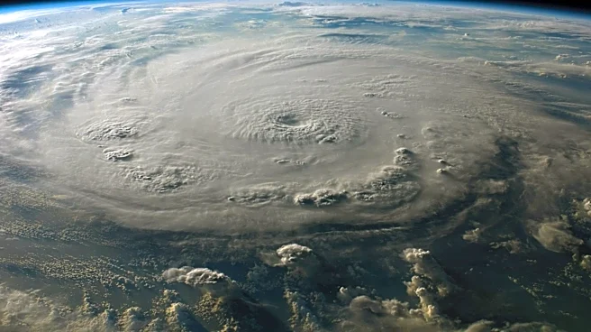
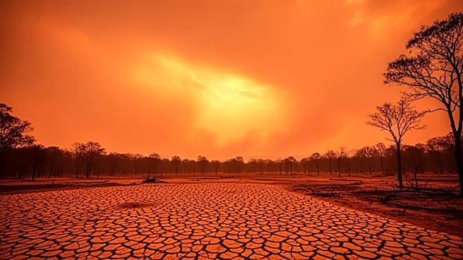
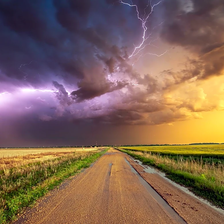
A historically strong Super El Niño is expected to develop this summer, significantly impacting global weather patterns. This phenomenon, characterized by warmer than average water in the central and eastern Pacific Ocean, is anticipated to bring increased
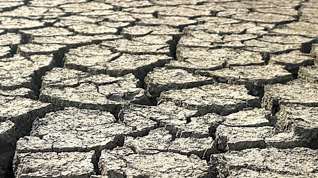
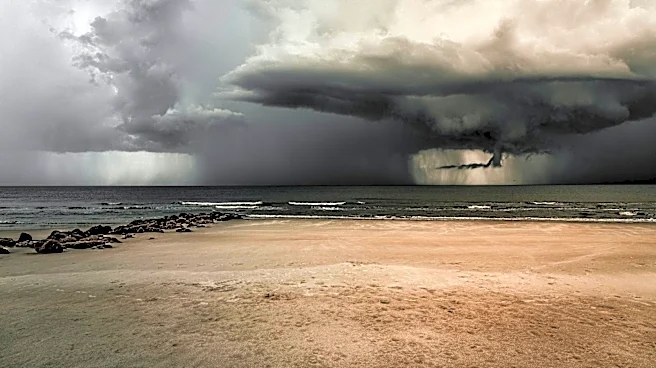
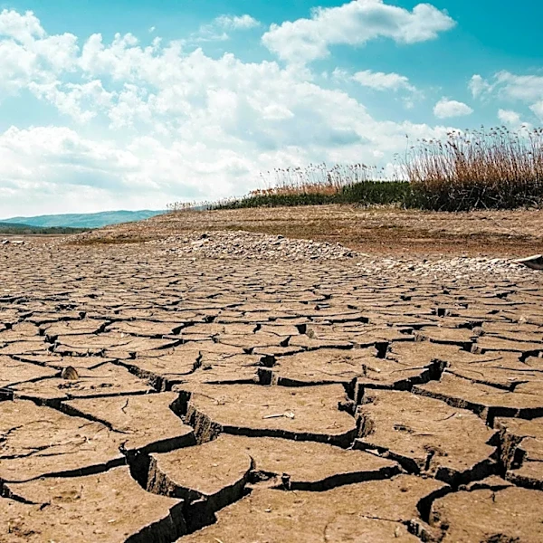
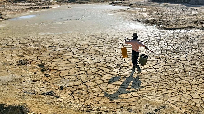
storms across the southern U.S. and drier conditions in the Northern Tier. The El Niño event is also likely to spike global temperatures as heat is released from the Pacific Ocean. However, the intense energy displacement associated with this Super El Niño could lead to its rapid collapse, potentially transitioning into a La Niña by 2027. Historically, four out of five Super El Niño events since 1970 have been followed by La Niña conditions.
Why It's Important?
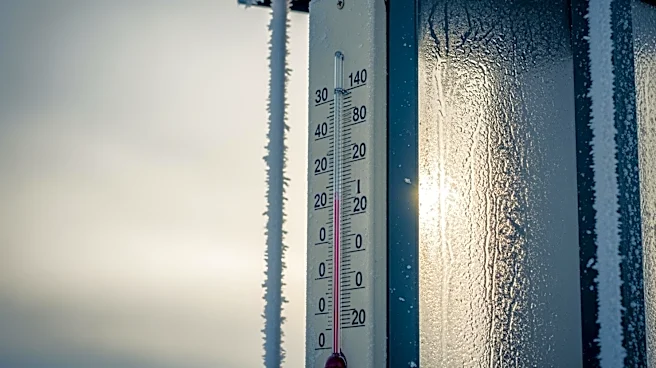
The development of a Super El Niño has significant implications for weather patterns across the United States and globally. In the U.S., the southern regions could experience increased storm activity, while the Northern Tier may face drier conditions. This shift in weather patterns can affect agriculture, water resources, and disaster preparedness. Additionally, the potential transition to La Niña in 2027 could bring colder, wetter winters to the Northern Tier and drier conditions to the southern U.S., impacting various sectors including agriculture and energy. The global temperature spike associated with El Niño could exacerbate climate-related challenges.
What's Next?
As the Super El Niño develops, meteorologists and climate scientists will closely monitor its progression and potential impacts. Stakeholders, including government agencies, farmers, and emergency services, may need to prepare for the anticipated weather changes. The transition to La Niña, if it occurs, will also require adjustments in planning and resource management. Continued research and observation will be crucial in understanding the full scope of these climate phenomena and their long-term effects.