








What's Happening?
San Diego County is currently experiencing a fast-moving cold front that is bringing moderate to heavy rain, isolated thunderstorms, strong winds, and hazardous surf conditions. The main band of rain began affecting northwestern San Diego County around
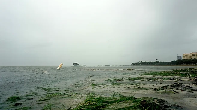
1 p.m. on Thursday and is expected to move out of the county by approximately 6 p.m. Rainfall rates could reach between 0.25 to 0.5 inches, with embedded thunderstorms possible within the rain band. While the heaviest rain is expected to taper off quickly after the main band passes, lighter, intermittent rain may continue into the evening, with a few showers potentially lingering in southwestern San Diego County through Friday morning. A Wind Advisory is in effect until 4 p.m. Thursday for San Diego County mountains, with gusts near 55 mph anticipated. Additionally, a Beach Hazards Statement is active from Thursday morning through Friday morning for coastal areas, warning of surf building to around 7 feet, strong rip currents, and minor coastal flooding around high tide.
Why It's Important?
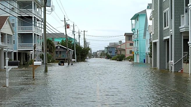
This weather event carries significant implications for residents and infrastructure across San Diego County. The potential for moderate to heavy rain increases the risk of localized flooding, particularly in low-lying and poor drainage areas, which can disrupt transportation and pose safety hazards. Strong winds, especially in mountainous regions, could lead to downed trees and power outages, impacting daily life and potentially causing property damage. The hazardous surf conditions, including high waves and strong rip currents, present a serious danger to beachgoers and marine activities, necessitating caution along the coastline. Furthermore, minor coastal flooding around high tide could affect coastal properties and infrastructure. The rapid progression of the storm means that residents need to stay informed and take immediate precautions to ensure their safety and minimize potential disruptions.
What's Next?
Following the passage of the main rain band, San Diego County is forecast to experience dry but cool weather from Friday through the weekend. However, another, weaker weather system has a chance of bringing light rain on Monday morning. Residents should remain vigilant for lingering showers into early Friday morning, particularly in southwestern areas. Coastal communities should continue to exercise caution due to the ongoing Beach Hazards Statement, which extends through Friday morning, as hazardous surf and strong rip currents will persist. Emergency services and local authorities will likely monitor conditions closely for any residual impacts from the storm, such as localized flooding or wind damage. Travelers should check road conditions before commuting, especially in areas prone to flooding or high winds.
Beyond the Headlines
The recurring nature of such weather events in San Diego County highlights broader discussions around urban planning, infrastructure resilience, and climate adaptation. While this particular storm is fast-moving, the cumulative effect of increased rainfall intensity and coastal hazards can strain existing drainage systems and coastal defenses. This event serves as a reminder of the importance of robust storm preparedness protocols for both individuals and municipal services. Long-term, these weather patterns contribute to ongoing conversations about how San Diego, a region known for its mild climate, must adapt to potentially more extreme and variable weather conditions, influencing future investments in flood control, coastal protection, and emergency response capabilities. The impact on local ecosystems, particularly coastal ones, also warrants consideration as these events become more frequent or intense.