




What's Happening?
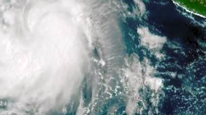
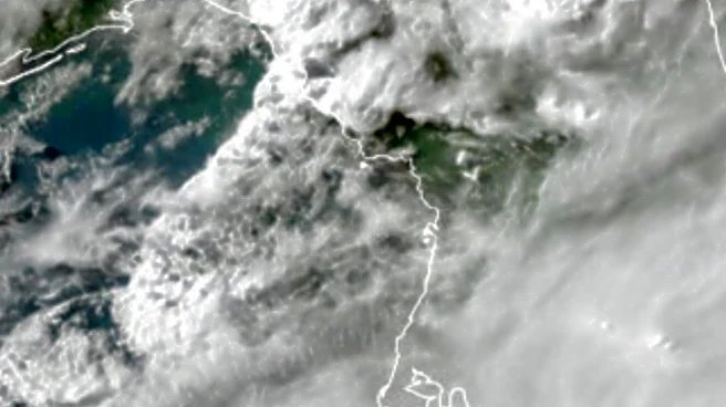
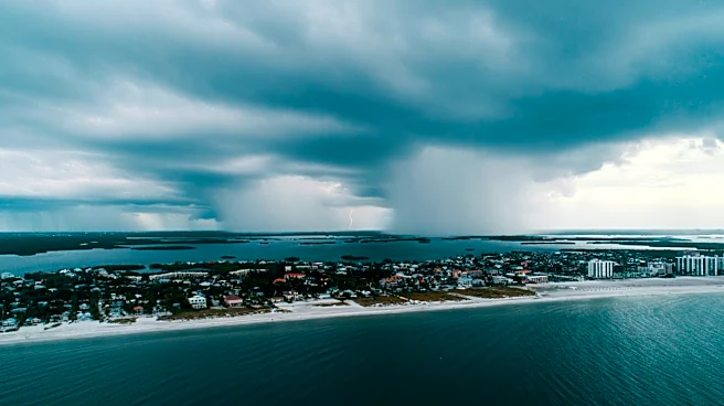
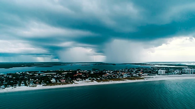
A Tropical Storm Watch has been issued for the Florida Panhandle from the Ochlockonee River to the Alabama border due to the formation of Tropical Depression Two in the Gulf of Mexico. The National Hurricane Center reports that the depression is expected
to gradually strengthen, potentially bringing tropical storm conditions to the region starting late Monday. The system is forecast to produce significant rainfall, with amounts ranging from two to four inches and locally higher totals up to eight inches. Residents in the affected areas, as well as in Alabama, Mississippi, Louisiana, and Texas, are advised to monitor the storm's progress closely.
Why It's Important?
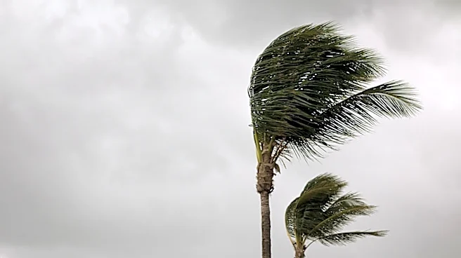
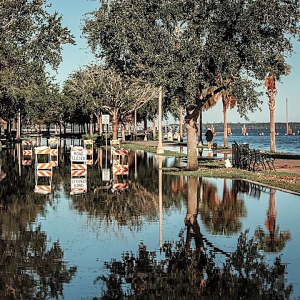
The issuance of a Tropical Storm Watch highlights the potential for severe weather conditions that could impact the Florida Panhandle and surrounding regions. Such storms can lead to flooding, property damage, and disruptions to daily life. The situation underscores the importance of preparedness and timely response to minimize the impact on communities. The potential for heavy rainfall and strong winds necessitates vigilance and proactive measures by residents and local authorities to ensure safety and mitigate damage.
What's Next?
The National Hurricane Center will continue to monitor the storm's development and provide updates as necessary. Additional watches and warnings may be issued as the system progresses. Residents in the affected areas are encouraged to stay informed through official channels and prepare for possible impacts, including securing property and having emergency supplies ready. Local governments and emergency services will likely coordinate efforts to ensure public safety and respond to any incidents resulting from the storm.