


What's Happening?
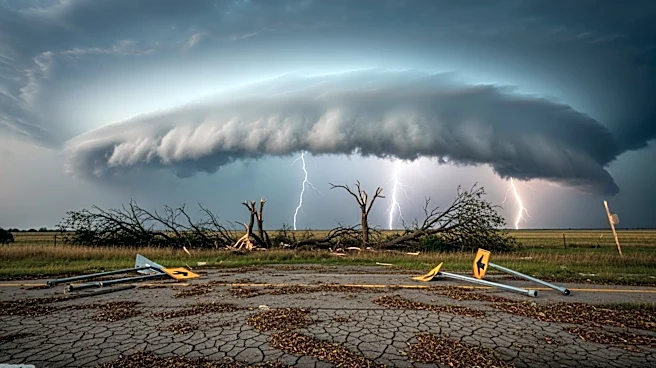
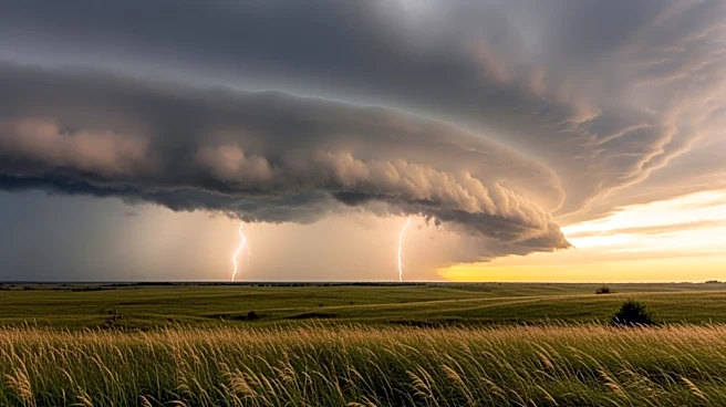
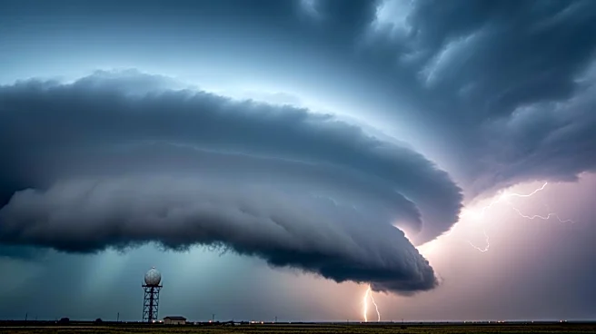
North and Northeast Texas are bracing for severe storms, with forecasts predicting large hail, damaging winds, and potential tornadoes. The storm development is expected between 1 PM and 3 PM, with supercell thunderstorms likely to form along a boundary
south of the Red River. These storms are anticipated to move southeast, impacting the Dallas/Fort Worth Metroplex by late afternoon. The threat includes destructive hail and strong winds, with localized flooding possible due to heavy rainfall. The situation is dynamic, with the potential for storms to develop later in the day, intensifying the threat.
Why It's Important?
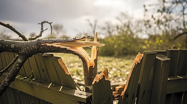
The severe weather poses significant risks to life and property in North Texas, particularly in densely populated areas like the Dallas/Fort Worth Metroplex. The potential for large hail and tornadoes could lead to substantial damage to homes, vehicles, and infrastructure. Localized flooding may exacerbate the situation, impacting transportation and emergency response efforts. The economic implications are considerable, with potential disruptions to businesses and services. The situation underscores the importance of preparedness and timely communication to minimize risks and ensure public safety.
What's Next?
Residents in the affected areas are advised to stay informed and take necessary precautions as the situation evolves. Emergency services and local authorities are on alert, ready to respond to any incidents. The storm system's progression will be closely monitored, with updates provided as conditions change. The potential for severe weather to continue into the evening and overnight hours requires ongoing vigilance and readiness to implement emergency plans if needed.