




What's Happening?
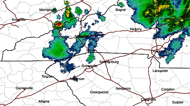
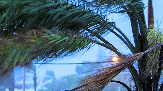
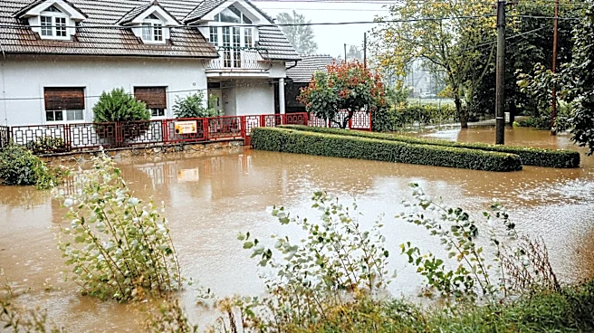
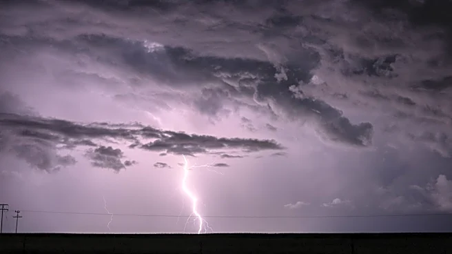
Severe thunderstorms are expected to impact the Midwest, mid-Atlantic, and Northeast regions of the United States this week. The storms are anticipated to bring damaging wind gusts and heavy rainfall, leading to potential flash flooding. The weather system
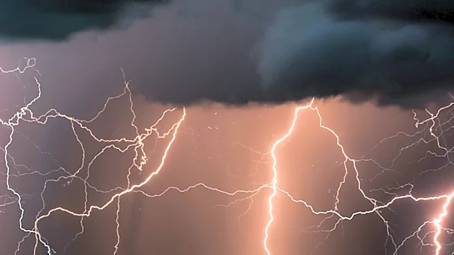
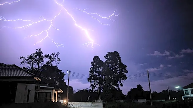
is developing as a dip in the jet stream interacts with record heat across the Plains. Areas from North Carolina to Pennsylvania, including major cities like Washington, D.C., and Baltimore, are at risk of experiencing strong-to-severe storms. Meteorologists warn that even non-severe thunderstorms can produce frequent lightning and heavy downpours, which may cause water accumulation on roads and reduced visibility for drivers. The storms are expected to disrupt outdoor activities and slow down the evening commute, particularly along the Interstate 95 corridor.
Why It's Important?
The severe weather poses significant risks to public safety and infrastructure across the affected regions. Flash flooding can lead to road closures, property damage, and potential loss of life. The disruption of transportation networks could impact daily commutes and economic activities. Additionally, the storms may exacerbate existing weather-related challenges, such as power outages and damage to homes and businesses. The potential for tornadoes and hail adds to the urgency for residents to stay informed and prepared. The situation underscores the importance of effective emergency response and communication systems to mitigate the impact of severe weather events.
What's Next?
As the weather system progresses, the severe weather threat is expected to shift further east into the mid-Atlantic region. Residents in the affected areas are advised to monitor weather updates and heed warnings from local authorities. Emergency services and utility companies are likely to be on high alert to respond to any incidents of flooding, power outages, or storm damage. The continuation of active weather patterns throughout the week suggests that additional rounds of heavy rainfall and thunderstorms could occur, necessitating ongoing vigilance and preparedness.