






What's Happening?
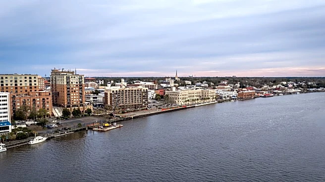
Wilmington, North Carolina, has concluded its third-warmest meteorological summer on record, encompassing June, July, and August. According to meteorologist Brandon Locklear, records for the area date back to 1874. The summer was characterized by consistently
hotter-than-normal temperatures, with frequent climbs into the 90s and heat index values exceeding 100 degrees. Over 32 heat advisories were issued, nearly doubling the 19 advisories from 2010 and 2011. These prolonged hot and dry conditions led to worsening drought across the region, with several counties experiencing severe to extreme drought, and southern Brunswick County reaching an exceptional drought category, prompting water conservation efforts. However, August brought a significant shift, becoming the second-rainiest August on record with nearly 15 inches of rain over 21 days, leading to localized flooding due to the hardened, dry ground's reduced absorption capacity.
Why It's Important?
The extreme weather patterns experienced in Wilmington have significant implications for public health, infrastructure, and local economies. The record-breaking heat and numerous heat advisories pose serious health risks, particularly for vulnerable populations, and increase energy consumption for cooling. The severe drought conditions impact agriculture, water resources, and increase the risk of wildfires, affecting local businesses and residents dependent on these resources. The subsequent heavy rainfall, while alleviating drought, also presented challenges. The inability of dry ground to absorb water efficiently led to increased runoff and flooding, damaging infrastructure like Dovefield Drive in Ogden and disrupting daily life. These events highlight the growing need for robust climate adaptation strategies and emergency preparedness in coastal communities, as they face increasingly volatile weather patterns. The economic costs associated with managing these extremes, from water conservation to flood damage repair, can be substantial for the region.
What's Next?
As fall approaches, forecasters emphasize that September is typically the most active month for the Atlantic hurricane season, with the climatological peak around September 10. Residents are urged to remain vigilant and review their hurricane preparedness plans, including evacuation routes and emergency kits. The National Weather Service continues to monitor tropical activity closely for the next six weeks. The recent summer's weather extremes may prompt local authorities to re-evaluate and enhance their long-term climate resilience plans, focusing on water management, urban planning to mitigate flood risks, and public health initiatives to address heat-related illnesses. Continued monitoring of weather patterns and public awareness campaigns will be crucial in preparing for potential future extreme weather events.
Beyond the Headlines
The summer's weather in Wilmington serves as a microcosm of broader climate trends impacting coastal regions across the U.S. The oscillation between severe drought and intense rainfall events points to increased climate variability, challenging traditional infrastructure and resource management approaches. This pattern can exacerbate existing environmental vulnerabilities, such as soil erosion and water quality issues. The experience may also influence local policy discussions regarding sustainable development, green infrastructure, and the allocation of resources for climate adaptation. Furthermore, the events could foster greater community engagement in environmental stewardship and emergency preparedness, as residents directly experience the consequences of changing weather patterns. The need for integrated approaches that consider both water scarcity and flood risk will become increasingly critical for urban and rural areas alike.