




What's Happening?
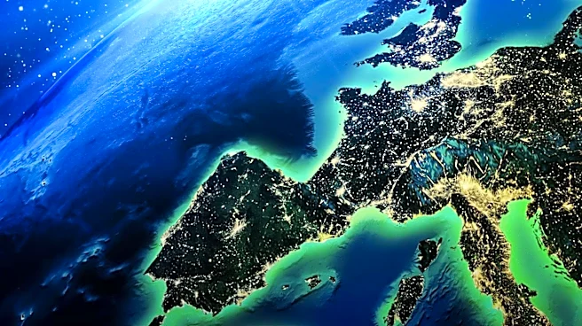
Google Earth has integrated new AI image generation capabilities with the Nano Banana 2 update, allowing users to create AI-generated images based on Google Earth's satellite and 3D imagery. This update enables users to visualize historical reconstructions,
futuristic scenarios, and personal projects by using Google Earth's existing landscape data. The AI can generate infographics, reimagine urban spaces, and provide educational insights into historical sites like Pompeii. While the AI offers enhanced realism and accuracy, users are advised to consider potential inaccuracies in the generated images.
Why It's Important?
The integration of AI image generation into Google Earth represents a significant advancement in digital mapping and visualization technology. This development enhances the educational and creative potential of Google Earth, allowing users to explore and visualize complex scenarios with greater detail and interactivity. For educators, urban planners, and hobbyists, this tool offers new ways to engage with geographic data and historical contexts. However, the reliance on AI-generated content also raises questions about accuracy and authenticity, highlighting the need for critical evaluation of AI outputs.