







What's Happening?
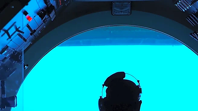
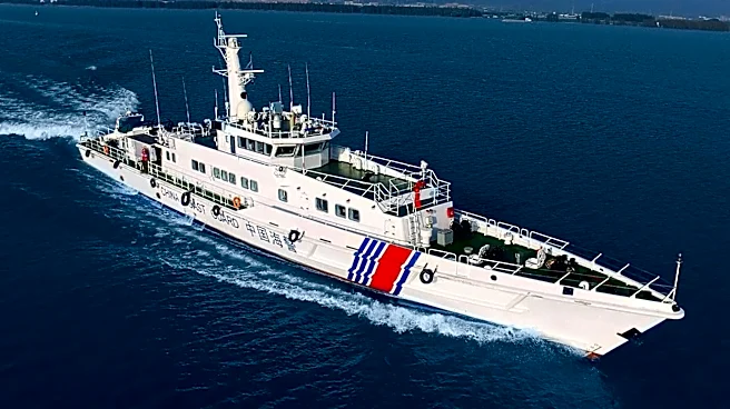
A Chinese research team has successfully mapped the seabed of its claimed waters, including the South China Sea, achieving a resolution twice as high and an accuracy up to five times greater than global models. This extensive effort, spanning over two
decades, has resulted in detailed topographic data for the region. The significance of such precise mapping was highlighted by an incident in October 2021, where the U.S. Navy’s Seawolf-class nuclear submarine USS Connecticut struck an uncharted seamount in the South China Sea. This collision grounded the vessel and injured 11 crew members. An investigation attributed the mishap to poor voyage planning by officers who failed to heed sonar warnings that did not align with their existing charts. The availability of more detailed topographic data, such as that produced by the Chinese team, could have potentially prevented this incident. The South China Sea is a contentious region, with multiple Southeast Asian countries, including China, Vietnam, the Philippines, Brunei, Malaysia, and Taiwan, having long-standing disputes over its waters, particularly concerning the Spratly and Paracel Islands. China's claim to most of the region is centered on the 'nine-dash line,' which encompasses up to 90 percent of these waters.
Why It's Important?
The enhanced mapping of the South China Sea floor by China carries significant implications for maritime navigation, military operations, and geopolitical dynamics in the region. For military forces, particularly submarine fleets, accurate bathymetric data is crucial for safe passage and strategic positioning. The USS Connecticut incident underscores the risks associated with operating in poorly charted waters, demonstrating how a lack of precise information can lead to costly accidents and compromise national security assets. China's advanced mapping capabilities could provide it with a strategic advantage, allowing its naval forces to navigate the complex underwater terrain with greater confidence while potentially exposing vulnerabilities in the navigation capabilities of other nations operating in the area. Furthermore, in a region marked by territorial disputes, superior knowledge of the seabed could bolster China's claims and influence its ability to control or exploit resources. This development also highlights a potential technological gap, as Chinese researchers have surpassed Western models in mapping resolution, which could prompt other nations to invest more heavily in similar hydrographic research to maintain parity and ensure the safety of their maritime operations.
What's Next?
The development of highly accurate seabed maps by China is likely to intensify the ongoing geopolitical competition in the South China Sea. Other nations with interests in the region, particularly the United States and its allies, may increase their own efforts in hydrographic surveying and data collection to counter China's newfound advantage. This could lead to a technological arms race in underwater mapping and navigation. There may also be calls for greater international cooperation in sharing bathymetric data to enhance maritime safety and prevent future incidents like the USS Connecticut collision, although such cooperation could be complicated by existing territorial disputes. Furthermore, the improved mapping could influence future negotiations or confrontations over resource exploration and territorial claims, as more precise data could be used to support or challenge existing boundaries. The increased understanding of the seabed could also facilitate the development of new infrastructure or resource extraction projects, potentially leading to further environmental and geopolitical considerations.
Beyond the Headlines
Beyond the immediate military and navigational implications, China's advanced seabed mapping in the South China Sea touches upon deeper issues of scientific sovereignty and the 'commons' of international waters. While precise mapping is a scientific endeavor, its application in a disputed region transforms it into a tool of geopolitical influence. The ability to chart the ocean floor with such detail could be seen as an assertion of control, subtly reinforcing territorial claims by demonstrating a superior understanding and presence in the area. This raises ethical questions about the dual-use nature of scientific research, where data collected for safety and knowledge can also serve strategic and military objectives. Moreover, the incident with the USS Connecticut highlights a broader challenge in international maritime law and cooperation: the need for universally accepted and updated charts in areas of contested sovereignty. The lack of such shared, high-resolution data can lead to dangerous miscalculations and underscores the fragility of peace in strategically vital regions. This technological leap by China could also set a precedent for how nations assert their claims in other contested maritime zones globally, potentially leading to a new dimension of competition in oceanographic research and data acquisition.