


What's Happening?
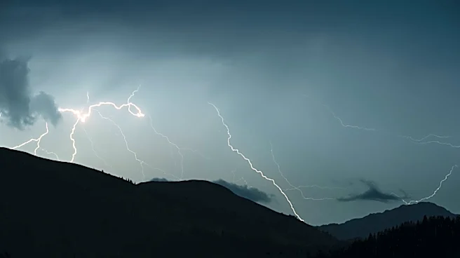
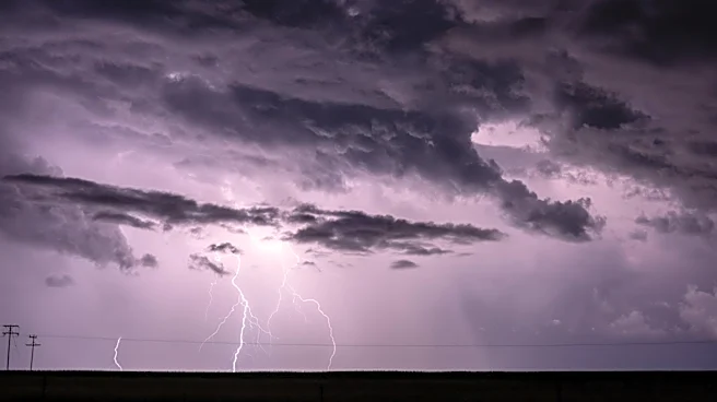
Southern Wisconsin is set to experience a significant shift in its weather pattern, transitioning from quiet and dry conditions to an active period of showers and thunderstorms this weekend. While Thursday and Friday are expected to remain dry with highs
near 80 degrees Fahrenheit, moisture will increase by Friday night, leading to a high likelihood of showers and thunderstorms starting Saturday morning. Forecasters indicate that this unsettled weather could persist into early next week, with Sunday and Monday also having chances for showers and storms. There is some uncertainty regarding the exact timing and strength of these systems, particularly for Sunday and Monday, where some activity could produce gusty winds due to atmospheric instability and wind shear. A front responsible for this weather is anticipated to remain stalled over the area before slowly moving south by Tuesday or Wednesday. Heavy rainfall is a concern from Saturday night into early next week due to these repeated rounds of precipitation.
Why It's Important?
This shift to an active weather pattern with potential heavy rainfall and gusty winds carries several important implications for southern Wisconsin. The increased precipitation could lead to localized flooding, impacting transportation, agriculture, and potentially causing property damage. Residents will need to prepare for adverse driving conditions and possible disruptions to outdoor activities. For farmers, the timing and intensity of rainfall can significantly affect crop health and harvesting schedules. The uncertainty in forecasting the exact timing and strength of storms highlights the challenges in preparing for severe weather events, emphasizing the need for continuous monitoring of weather updates. Public safety officials will be on alert for potential hazards, and emergency services may need to be prepared for increased demand.
What's Next?
Residents in southern Wisconsin should prepare for the onset of showers and thunderstorms beginning Saturday morning, with the active weather pattern expected to continue into early next week. It is advisable to stay updated with the latest weather forecasts, especially regarding potential heavy rainfall and gusty winds. The front causing this unsettled weather is predicted to linger over the region before gradually moving south by Tuesday or Wednesday. This suggests that the early part of next week could still see lingering precipitation. Individuals with outdoor plans for the weekend and early next week should consider alternative arrangements or take necessary precautions. Local authorities will likely issue advisories or warnings if severe weather conditions are anticipated.
Beyond the Headlines
The transition to an active weather pattern in southern Wisconsin underscores the dynamic nature of regional climates and the increasing importance of accurate short-term forecasting. Beyond immediate concerns like flooding and travel disruptions, prolonged periods of heavy rain can have broader ecological impacts, affecting water quality, soil erosion, and local ecosystems. The mention of atmospheric instability and wind shear points to the complex meteorological factors at play, which can lead to unpredictable storm behavior. This situation also highlights the role of local news and weather services in providing timely and critical information to the public, enabling communities to prepare and respond effectively to changing environmental conditions. The continuous monitoring of such weather shifts is essential for both public safety and economic stability in affected regions.