







What's Happening?
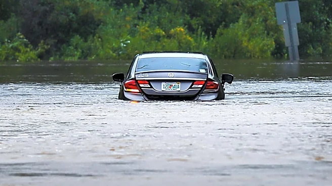
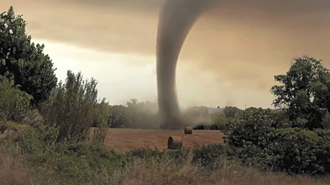
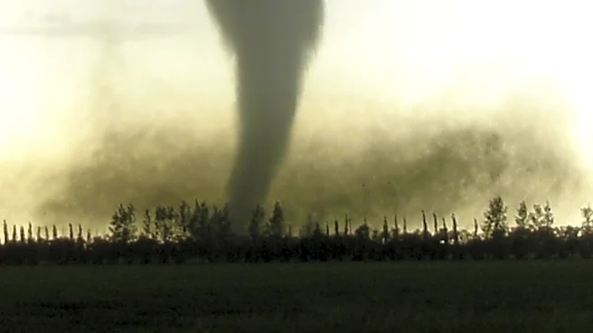
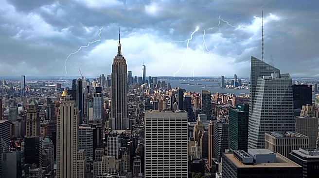
The New York City metro area is facing severe weather conditions, with flash flood warnings and tornado watches in effect. The National Weather Service has rated the severe weather risk at level 3 out of 5, indicating a significant threat of flash floods
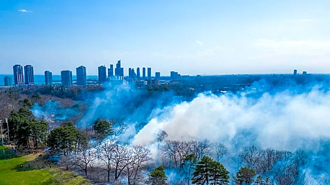
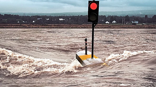
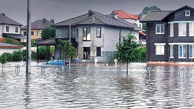
and tornadoes. Heavy rainfall, with rates exceeding 2 inches per hour, is expected to cause flooding, particularly in low-lying and coastal areas. The storms are also expected to clear the region of Canadian wildfire smoke, which has affected air quality in recent days. The severe weather is part of a larger storm system impacting the northeastern United States.
Why It's Important?
The severe weather poses a substantial risk to public safety and infrastructure in the NYC metro area. Flash floods can lead to significant property damage, disrupt transportation, and pose life-threatening conditions for residents. The potential for tornadoes adds an additional layer of danger, requiring residents to stay alert and prepared for emergency situations. The clearing of wildfire smoke by the storms may improve air quality, but the immediate threat of severe weather remains a pressing concern. This situation highlights the need for effective emergency response and preparedness measures to protect communities from the impacts of extreme weather events.
What's Next?
Residents in the affected areas should continue to monitor weather updates and follow guidance from local authorities. The National Weather Service will provide ongoing updates as the storm system progresses. In the aftermath of the storms, efforts will focus on assessing damage, providing assistance to affected residents, and restoring infrastructure. The clearing of wildfire smoke may lead to improved air quality, but the focus remains on managing the immediate threats posed by the severe weather.