



What's Happening?
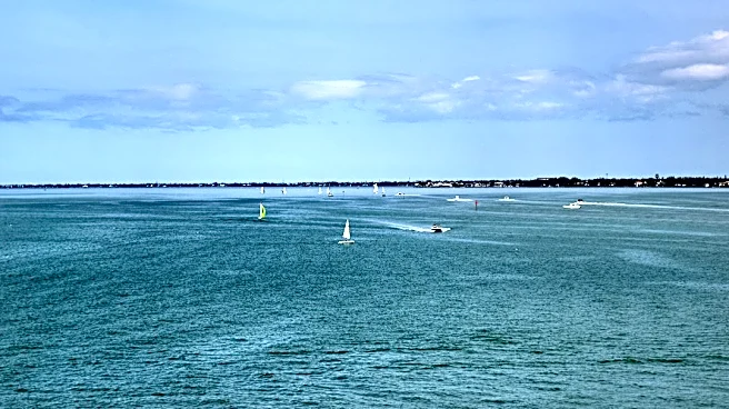
Florida has observed an uncharacteristically calm hurricane season, even past the statistical peak of September 10th. According to Andrew Wulfeck, a meteorologist with the Florida Public Radio Emergency Network, this lull is primarily attributed to a combination
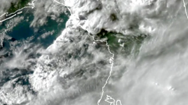
of atmospheric conditions. A strengthening El Niño in the Pacific is a significant factor, as it increases wind shear over the Atlantic Basin, including the Gulf and Caribbean. Wind shear disrupts the organization of developing storms, preventing them from forming into tropical cyclones. Additionally, persistent dry air across the Atlantic, particularly the active Saharan Air Layer (SAL), has further suppressed tropical activity. The SAL, a mass of dry air originating off the coast of Africa, strips moisture from the atmosphere, which is crucial for storm formation. This year, the SAL has remained unusually thick and active, effectively capping thunderstorm development necessary for tropical cyclone formation.
Why It's Important?
The quiet hurricane season has significant implications for Florida's residents, infrastructure, and economy. A less active season reduces the immediate threat of property damage, power outages, and the need for costly evacuations and disaster relief efforts. This can lead to lower insurance premiums in the long term and less disruption to tourism, a vital industry for the state. However, Wulfeck cautions against complacency, as the hurricane season officially extends through November 30th, and historically, significant activity can occur after the September peak. The reduced storm activity also provides a temporary reprieve for coastal ecosystems, which are often severely impacted by hurricanes. Understanding these atmospheric patterns is crucial for meteorologists and emergency management agencies to refine forecasting models and preparedness strategies, even during quieter years.
What's Next?
Despite the current calm, meteorologist Andrew Wulfeck advises against complacency, as the Atlantic hurricane season continues until November 30th. Historically, over 60% of hurricane activity occurs after September 10th, with September and October still being peak months for storm development. While residents can reasonably begin to relax as October winds down, Wulfeck notes that hurricanes have impacted Florida as late as November, citing Hurricane Nicole in November 2022 and Hurricane Kate in November 1985 as examples. Therefore, continued vigilance and preparedness are recommended for the remainder of the season. The ongoing atmospheric conditions, including the El Niño and the Saharan Air Layer, will continue to be monitored for any shifts that could influence tropical cyclone formation in the coming weeks.
Beyond the Headlines
The extended quiet period in Florida's hurricane season highlights the complex interplay of global atmospheric phenomena. The strengthening El Niño and the persistent Saharan Air Layer are natural climate patterns that, in combination, have created an environment unfavorable for tropical cyclone development in the Atlantic. This situation underscores the dynamic nature of weather systems and the challenges in long-range forecasting. While beneficial in the short term for Florida, it also raises questions about the broader implications of such prolonged atmospheric conditions on global weather patterns and climate. The reduced hurricane activity could also influence marine ecosystems, potentially affecting ocean currents and species migration patterns, though these effects would require further study. The event serves as a reminder that even in a warming climate, regional weather can be significantly influenced by specific, often temporary, atmospheric configurations.