




What's Happening?
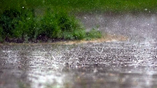
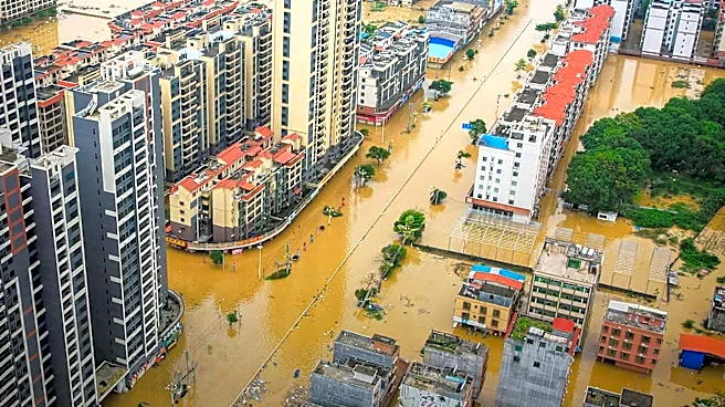
Oklahoma City is currently facing significant flooding due to unprecedented rainfall, with nearly 7 inches recorded in the last 48 hours. This amount of precipitation surpasses the total rainfall for the previous four months combined since June 15th.
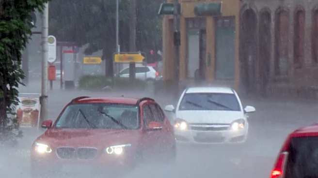
Yesterday alone, the city recorded 5.59 inches of rain, breaking the daily record of 2.45 inches set in 1956. This makes yesterday one of the wettest days in Will Rogers' history and the third-highest October calendar day total. Flood Advisories and Flash Flood Warnings have been issued for various areas, and an Areal Flood Watch is in effect for most of the region. A River Flood Advisory is also in place through Friday afternoon as river levels are expected to continue rising. A cold front is anticipated to move through the state, pushing the showers eastward and bringing significantly cooler temperatures, with highs dropping into the upper 50s.
Why It's Important?
The record rainfall and subsequent flooding in Oklahoma City have immediate and significant impacts on public safety and infrastructure. Widespread flooding poses a direct threat to residents, potentially leading to property damage, road closures, and dangerous driving conditions. The rapid accumulation of water, while beneficial for drought conditions, highlights the challenges of managing extreme weather events. The shift to much colder temperatures following the heavy rain could also create additional hazards, such as hypothermia risks for those exposed to the elements or dealing with floodwaters. The strain on emergency services and local resources will be considerable, as they respond to flood-related incidents and work to ensure public safety. The economic impact could include damage to homes and businesses, disruptions to daily commerce, and increased costs for repairs and recovery efforts.
What's Next?
Additional showers and storms are expected throughout today, with heavy rainfall possible, which could exacerbate existing flooding. Residents are advised to exercise extreme caution and avoid driving through flooded areas. The cold front moving through the state tonight will clear the showers and storms, but it will usher in much colder temperatures, with lows in the mid to upper 40s and wind chills in the 30s and 40s by morning. Friday will be a chilly day with highs only in the upper 50s and gusty winds up to 40 mph, making it feel even colder. This will mark the coldest high temperatures seen in Oklahoma City in seven months. A significant warm-up is projected for next week, with temperatures returning to the 70s and low 80s, along with additional chances for showers and storms towards the middle to end of the week.
Beyond the Headlines
This event underscores the increasing frequency and intensity of extreme weather patterns, which can overwhelm urban infrastructure not designed for such rapid and heavy precipitation. While the rainfall helps alleviate drought conditions, the immediate consequences of flash flooding reveal a critical need for enhanced urban planning and water management strategies to mitigate future risks. The juxtaposition of record rainfall and an impending cold snap also highlights the unpredictable nature of current climate trends, demanding greater adaptability from communities. This situation could prompt discussions on improving early warning systems, investing in resilient infrastructure, and educating the public on flood safety, particularly the dangers of driving through floodwaters. The long-term implications may include reassessments of building codes and zoning regulations in flood-prone areas.