








What's Happening?
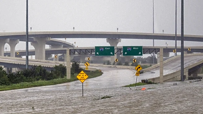
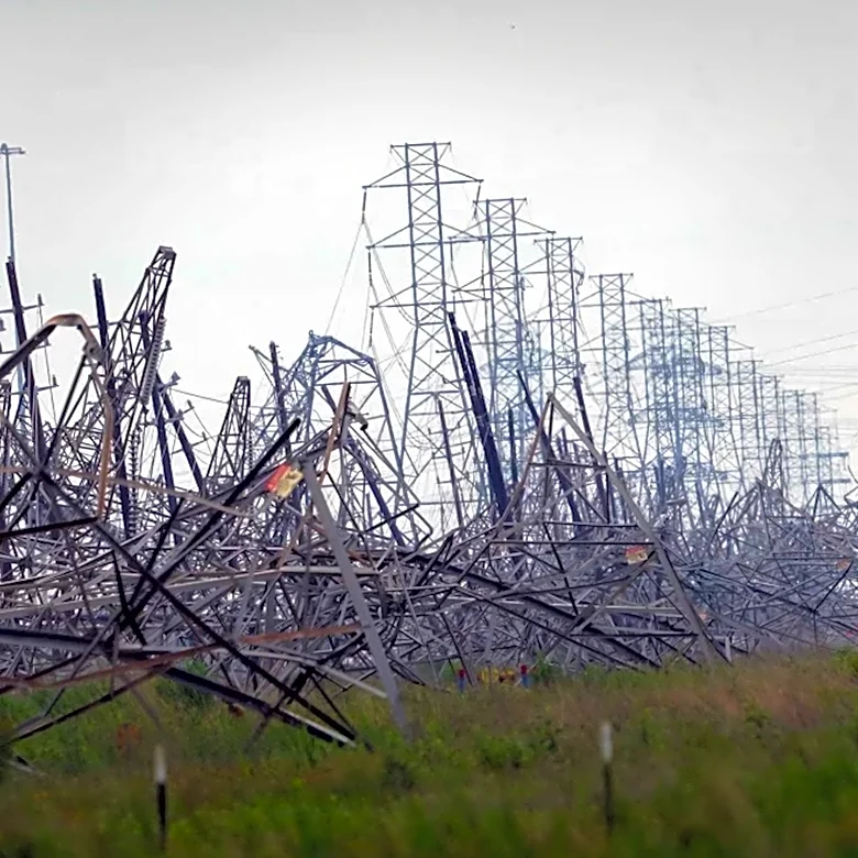
North Texas is experiencing scattered storms on Sunday, with the likelihood of severe weather increasing by evening due to a frontal boundary. The Storm Prediction Center has issued a Marginal Risk for severe storms, which may include gusty winds, hail,
and heavy downpours. Flooding is a primary concern, particularly in Delta, Hopkins, and Hunt counties, where a flash flood warning is in effect until 9 p.m. The storms are moving southeast at 30 mph and are expected to pass through the metroplex between 6 p.m. and 7 p.m. The weather is cloudy, with temperatures reaching the low to mid-90s, and southeasterly winds around 5 mph. Rain chances will persist into next week, with temperatures dipping below average before rebounding by the weekend.
Why It's Important?
The severe weather poses significant risks to residents in North Texas, including potential property damage from gusty winds and hail, as well as flooding in vulnerable areas. The flash flood warning highlights the urgency for residents to prepare for possible evacuations or disruptions. The weather conditions could impact local businesses, transportation, and daily activities, emphasizing the need for preparedness and caution. The forecast of continued rain and fluctuating temperatures may affect agricultural activities and water management strategies in the region.
What's Next?
As the storms continue, residents should stay informed through weather updates and heed warnings from local authorities. The potential for severe weather may prompt emergency responses and community support initiatives. Businesses and schools may need to adjust operations based on weather conditions. The forecast suggests a return to warmer temperatures by next weekend, which could alleviate some concerns but also bring new challenges related to heat management and water usage.