





What's Happening?
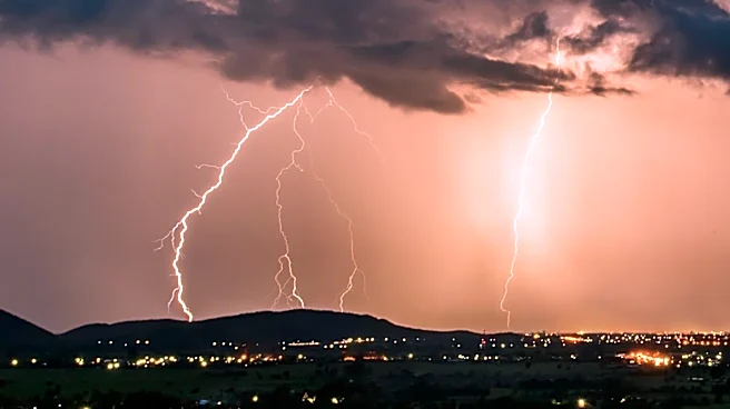
Central Ohio is bracing for a period of severe weather, with forecasts indicating the possibility of thunderstorms and heavy rainfall. Meteorologist Jennifer Herbert reports that the region could experience strong storms, particularly in the northern
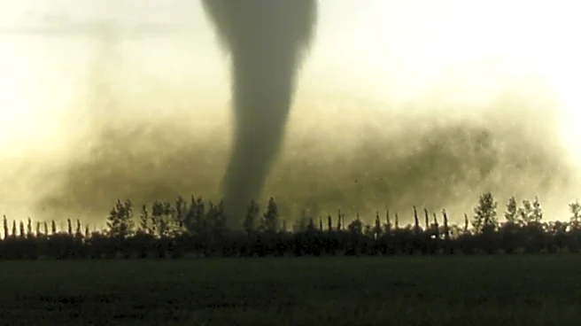
areas, late Sunday night. The weather pattern is expected to continue into the week, with Monday and Tuesday marked as alert days due to the potential for damaging winds and isolated tornadoes. The atmosphere remains warm and moisture-rich, increasing the likelihood of efficient, heavy downpours.
Why It's Important?
The anticipated severe weather poses significant risks to Central Ohio, including potential property damage from strong winds and flooding from heavy rainfall. Residents and local authorities need to prepare for possible disruptions and ensure safety measures are in place. The weather conditions could impact daily activities, transportation, and local businesses. Additionally, the persistent wet pattern could lead to more severe flooding if the storms continue over the same areas, necessitating ongoing vigilance and preparedness.
What's Next?
As the week progresses, Central Ohio will need to monitor weather updates closely. The potential for repeated heavy rainfall means that localized flooding could become a more pressing concern. Residents should stay informed about weather alerts and be prepared to take action if conditions worsen. Local authorities may need to implement emergency measures to address flooding and ensure public safety. The situation requires continuous assessment as the weather pattern evolves.