


What's Happening?
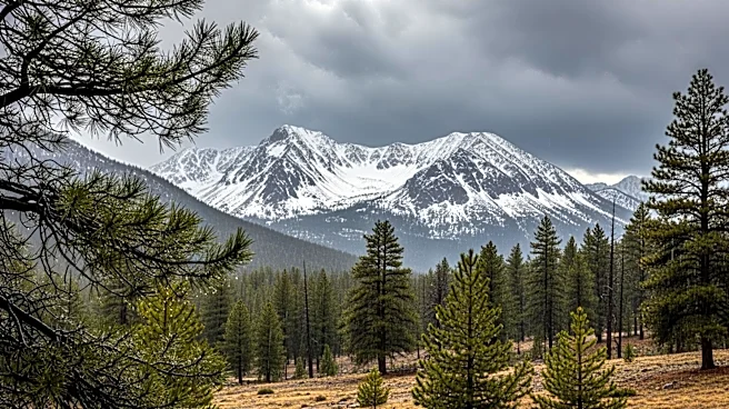
A significant late-season storm is impacting California and the intermountain west, bringing several feet of snow to the Sierra Nevada and multiple inches of rain along the coast. The storm arrives after a period of record warmth, which has contributed
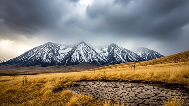
to a rare snow drought in the region. The Sierra snowpack is at its lowest on record, with the northern Sierra at only 5% of normal levels. The storm is expected to deliver 2 to 3 feet of snow at elevations above 7,000 feet, with rain and thunderstorms affecting Northern California and southwest Oregon. Despite the precipitation, the region faces a high risk of wildfires due to the early snowmelt and persistent dry conditions.
Why It's Important?
The storm's impact on California's snowpack and water resources is critical, as it may temporarily alleviate some drought conditions but is unlikely to significantly alter the long-term fire risk. The low snowpack levels and early melt have set the stage for a potentially severe wildfire season, posing threats to communities, ecosystems, and infrastructure. The situation highlights the challenges of managing water resources and fire risks in the face of climate variability. The storm's effects on the snowpack and subsequent fire risk underscore the need for adaptive strategies in water management and emergency preparedness.
What's Next?
The storm is the primary precipitation expected in the near future, with the potential for occasional rain and high-elevation snow through the rest of April. However, the National Oceanic and Atmospheric Administration forecasts a warmer-than-normal summer, which could exacerbate fire risks. The National Interagency Fire Center predicts above-normal fire potential in Northern California starting in May, expanding through the summer. The presence of warm ocean waters near California may influence weather patterns, potentially affecting fire season dynamics. Stakeholders will need to monitor conditions closely and prepare for a challenging fire season.