







What's Happening?
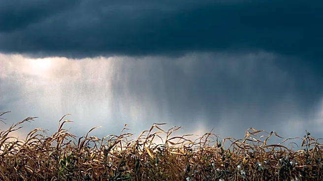
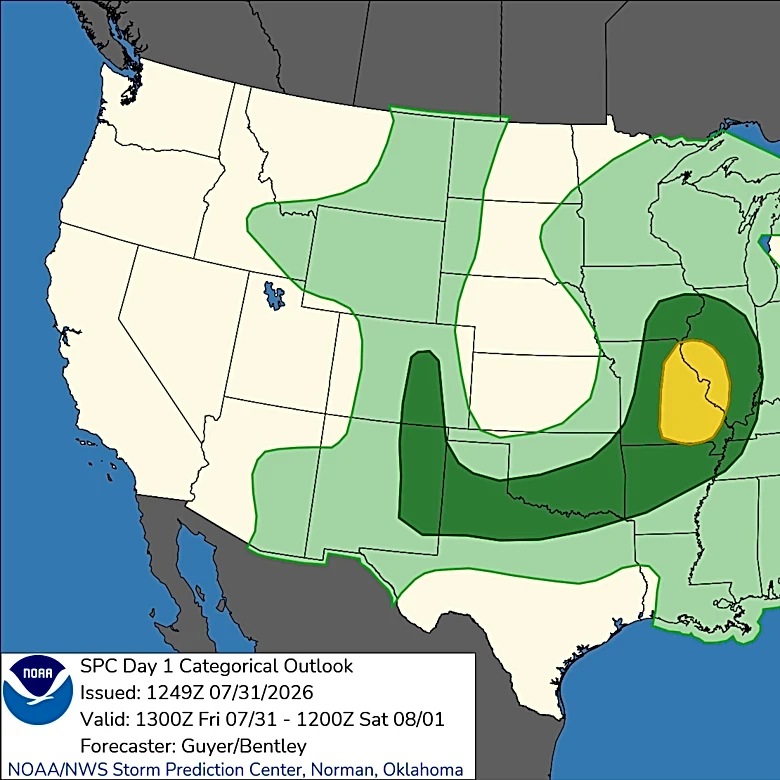
Nebraska experienced a series of strong to severe storms on Thursday evening, bringing damaging winds and heavy rain across the state. A Severe Thunderstorm Watch was issued for parts of western Nebraska, extending to central and eastern regions, with
wind gusts reaching up to 75 mph. The storms, which developed in northern Nebraska, moved south and southeast, impacting areas like Lincoln around midnight. The primary threats included damaging winds, heavy rain, and a low-end tornado risk. Rainfall varied, with some areas receiving between 1 and 2 inches, and a potential for flash flooding in northeast Nebraska. The storms were fueled by warm, moist air from the Gulf of Mexico and an upper-level weather system moving in from the west.
Why It's Important?
The severe weather conditions posed significant risks to residents and infrastructure in Nebraska. High winds threatened to damage trees, power lines, and structures, while heavy rainfall increased the risk of flash flooding, particularly in areas already saturated from previous rains. The storms disrupted daily life, potentially affecting transportation and power supply. The event highlighted the importance of preparedness and the need for effective communication of weather alerts to ensure public safety. The economic impact could be substantial, with potential damage to property and infrastructure requiring costly repairs.
What's Next?
Following the storms, cooler and drier air is expected to move into Nebraska, bringing relief from the severe weather. Temperatures are forecasted to drop, with highs in the low 80s and strong winds continuing into Friday. The weekend is anticipated to be pleasant, with sunny and dry conditions. However, residents are advised to remain vigilant for any lingering effects of the storms, such as downed power lines or debris. The next chance of rain is not expected until the following Tuesday night into Wednesday, allowing time for recovery and repairs.