


What's Happening?
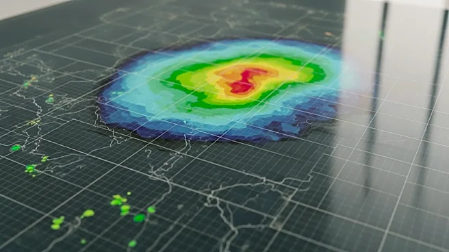
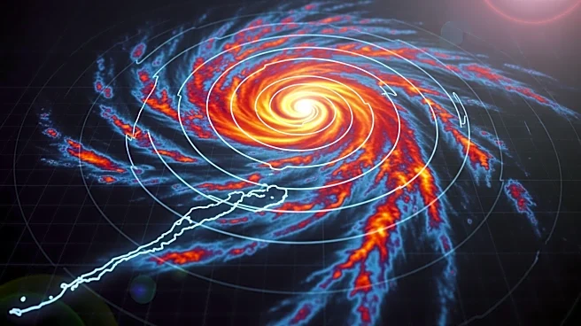
The National Oceanic and Atmospheric Administration (NOAA) has announced a significant update to its 'Cone of Uncertainty' graphic, which is widely used to track hurricanes. This update aims to improve the clarity of land-based risks associated with hurricanes. The 'Cone of Uncertainty' traditionally
illustrates the predicted path of a storm, but the new version will provide enhanced visibility of potential impacts on land, helping communities better prepare for hurricane season. This change is part of NOAA's ongoing efforts to improve public safety and awareness during severe weather events.
Why It's Important?
The update to the 'Cone of Uncertainty' graphic is crucial for improving public safety during hurricane season. By highlighting land-based risks more clearly, NOAA aims to provide communities with better information to prepare for potential impacts. This can lead to more effective evacuation plans and resource allocation, potentially reducing the loss of life and property damage. The enhancement reflects NOAA's commitment to leveraging technology and data to protect citizens from natural disasters, which is increasingly important as climate change contributes to more frequent and severe weather events.